Búðardalur
| Búðardalur | |
|---|---|
| Village | |
|
Búðardalur | |
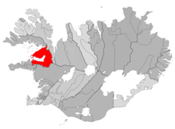 Location of the Municipality of Dalabyggð | |
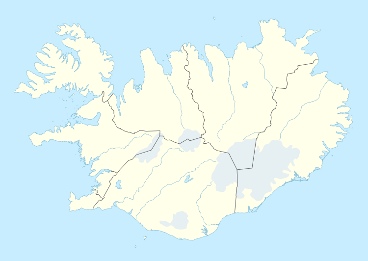 Búðardalur Location in Iceland | |
| Coordinates: 65°07′N 21°46′W / 65.117°N 21.767°W | |
| Country | Iceland |
| Constituency[1] | Northwest Constituency |
| Region[2] | Western Region |
| Municipality | Dalabyggð |
| Population (2014) | |
| • Total | 266 |
| Time zone | GMT (UTC+0) |
| Post Code | 371 |

Búðardalur is a village situated on the Hvammsfjörður in the north-west of Iceland.
The village also lies at the north-eastern end of the Snæfellsnes peninsula and is part of the municipality of Dalabyggð. Búðardalur had about 270 inhabitants in 2014 and is a service center for the area, including the regional tourist information centre.[3][4] In the traditional system of counties of Iceland that existed until the late 1980s, it was part of Dalasýsla, a name that is still used for the region.
Overview
Búðardalur contains a supermarket and a petrol station, hair salons, a pub/restaurant, a coffee shop, a health-care centre, an off-licence, a garage[3] and a craft shop; the information centre is in the same building as a cafe and a folk museum.[5]
The village has a long history, dating from the time of the first settlements in Iceland. The name means "Camp Valley", or more directly "dale of booths"; it is where settlers had temporary camps when coming to the area. In 1899, Búðardalur was officially granted the right of commerce. An old house from this time still exists.
At a short distance from the village is Eiríksstaðir, the homestead of Erik the Red, who discovered Greenland and whose son Leif Erikson, born at Eiríksstaðir, discovered America ahead of Columbus.[3][4]
References
- ↑ Political division
- ↑ Mainly statistical division
- 1 2 3 Frank Jacobs, "The Map as Address: Cryptic Letter Reaches Icelandic Destination", The Big Think, 4 September 2016.
- 1 2 Andrew Evans, Iceland, 2nd ed. Chalfont St Peter, Buckinghamshire, England: Bradt Travel Guides, 2011, ISBN 9781841623610, p. 276.
- ↑ Carolyn Bain and Alexis Averbuck, "Búðardalur", 9th ed. Footscray, Victoria, Australia / Oakland, California: Lonely Planet, 2015, ISBN 9781743214756.
Coordinates: 65°07′N 21°46′W / 65.117°N 21.767°W