Ayun Pa
| Ayun Pa Thị xã Ayun Pa | |
|---|---|
| Urban district and town | |
 Ayun Pa | |
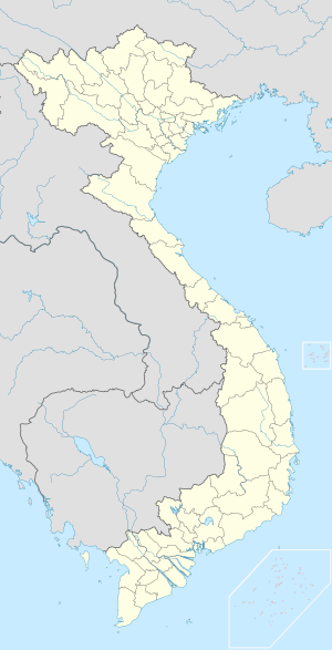
| Coordinates: 13°23′38″N 108°26′27″E / 13.39389°N 108.44083°ECoordinates: 13°23′38″N 108°26′27″E / 13.39389°N 108.44083°E | |
| Country |
|
| Region | Central Highlands |
| Province | Gia Lai |
| Area | |
| • Total | 304.6 sq mi (788.9 km2) |
| Population (2007) | |
| • Total | 35,058 |
| Time zone | Indochina Time (UTC+07:00) |
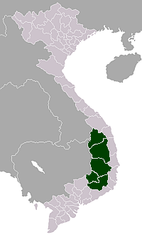
Ayun Pa is a district-level town (thị xã) in Gia Lai Province, in the Central Highlands of Vietnam. It used to be known as Cheo Reo. Ayun Pa covers an area of 788.9 km², with a population of 35,058 (2007). The town is situated in the south-eastern part of Gia Lai Province. To the east and north-east is Ia Pa District, to the south-east is Krông Pa District, to the south is Ea H'leo District, to the west is Phú Thiện District.
Ayun Pa town has 8 subdivisions, including 4 urban wards (phường): Cheo Reo, Hòa Bình, Đoàn Kết, Sông Bờ, and communes (xã): Ia RTô, Chư Băh, Ia Rbol and Ia Sao.
This article is issued from Wikipedia - version of the 11/7/2013. The text is available under the Creative Commons Attribution/Share Alike but additional terms may apply for the media files.
