Axis power negotiations on the division of Asia during World War II


As the Axis powers of Germany, Italy, and Japan cemented their military alliance by mutually declaring war against the United States by December 11, 1941, the Japanese proposed a clear territorial arrangement with the two main European Axis powers concerning the Asian continent.[1] On December 15 they presented the Germans with a drafted military convention that would delimit the continent of Asia into two separate "operational spheres" (zones of military responsibility) by a dividing line along the 70th meridian east longitude, going southwards through the Ob River's Arctic estuary, southwards to just east of Khost in Afghanistan and heading into the Indian Ocean just west of Rajkot in India, to split the Lebensraum land holdings of Germany and the similar spazio vitale areas of Italy to the west of it, and the Empire of Japan (and the Greater East Asia Co-Prosperity Sphere) to the east of it, after a complete defeat of the Soviet Union by the Third Reich.[1]
The Germans initially disliked this proposal, as its diplomats feared that it was a front for establishing a precedent for the specific delimitation of political spheres. The German army was also disappointed that it failed to contain any promises for Japan entering the war against the Soviet Union, or even to halt shipments of American supplies through the Pacific Soviet port of Vladivostok.[1]
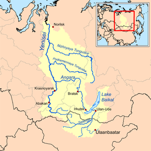
The arbitrary border was further criticized by the Wehrmacht's office of military economy (Wi Rü Amt) because it cut through territories and states that comprised organic economic units whose parts were mutually dependent on each other.[1] It instead proposed a division that would follow existing international boundaries, along the eastern border of Iran, the northern border of Afghanistan, the western border of China up to Tannu Tuva, and then northwards along the Yenisei river to the Arctic Ocean. Despite assigning all of British India and Afghanistan to Japan, this would give Germany a better and more easily defensible frontier in Siberia, and also grant it control over the Kuznetsk industrial basin in addition to the rich iron ore deposits of the eastern Ural mountains.[1]
Adolf Hitler found the Japanese proposal acceptable and approved it in full, possibly because he did not envisage Germany seizing much of any Soviet territory beyond the Ural Mountains.[2]
See also
- A-A line
- Greater East Asia Co-Prosperity Sphere
- German-Japanese relations
- New Order (Nazism)
- The Ural Mountains in Nazi planning
- Wehrbauer
- Imperial Italy (fascist)