Awaba Airport
| Awaba Airport | |||||||||||
|---|---|---|---|---|---|---|---|---|---|---|---|
| IATA: AWB – ICAO: AYAW | |||||||||||
| Summary | |||||||||||
| Airport type | Public | ||||||||||
| Location | Awaba, Papua New Guinea | ||||||||||
| Elevation AMSL | 60 ft / 18 m | ||||||||||
| Coordinates | 08°00.86′S 142°45.06′E / 8.01433°S 142.75100°ECoordinates: 08°00.86′S 142°45.06′E / 8.01433°S 142.75100°E | ||||||||||
| Map | |||||||||||
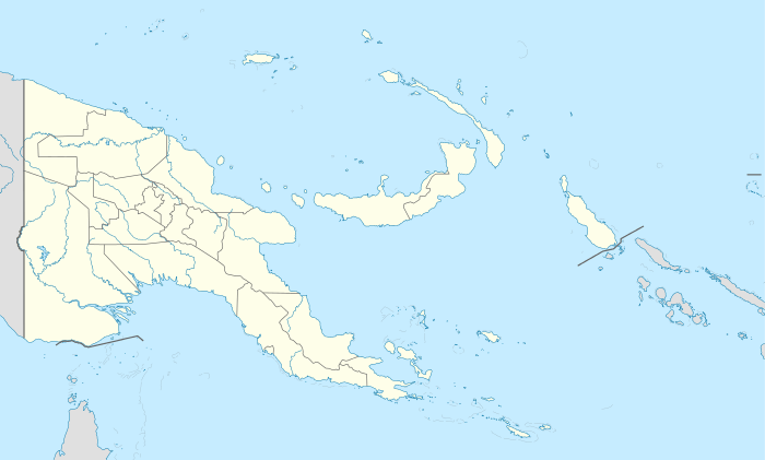 AWB Location of airport in Papua New Guinea | |||||||||||
| Runways | |||||||||||
| |||||||||||
|
Source: PNG Airstrip Guide[1] | |||||||||||
Awaba Airport (IATA: AWB, ICAO: AYAW) is an airfield serving Awaba, in the Western Province of Papua New Guinea.[1]
Airlines and destinations
| Airlines | Destinations |
|---|---|
| Airlines PNG[2] | Daru, Sasereme |
References
- 1 2 PNG Airstrip Guide. August 2005.
- ↑ Airlines PNG flight schedule
External links
This article is issued from Wikipedia - version of the 12/4/2016. The text is available under the Creative Commons Attribution/Share Alike but additional terms may apply for the media files.