Augusto Vergara Airport
| Augusto Vergara Airport | |||||||||||
|---|---|---|---|---|---|---|---|---|---|---|---|
| IATA: none – ICAO: MPNU | |||||||||||
| Summary | |||||||||||
| Serves | Los Santos | ||||||||||
| Location | Los Santos Province | ||||||||||
| Elevation AMSL | 69 ft / 21 m | ||||||||||
| Coordinates | 7°51′30″N 80°16′35″W / 7.85833°N 80.27639°WCoordinates: 7°51′30″N 80°16′35″W / 7.85833°N 80.27639°W | ||||||||||
| Map | |||||||||||
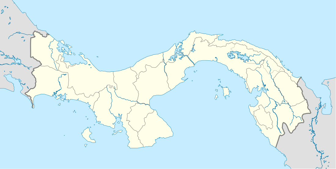 Augusto Vergara Location of the airport in Panama | |||||||||||
| Runways | |||||||||||
| |||||||||||
|
Source: Google Maps[1] | |||||||||||
Augusto Vergara Airport (ICAO: MPNU) is an airport serving the city of Los Santos, in Panama. It is located 16 kilometres (10 mi) southeast of the city.
See also
 Aviation portal
References
This article is issued from Wikipedia - version of the 8/6/2015. The text is available under the Creative Commons Attribution/Share Alike but additional terms may apply for the media files.