Audubon County Airport
Coordinates: 41°42′05″N 094°55′14″W / 41.70139°N 94.92056°W
| Audubon County Airport | |||||||||||
|---|---|---|---|---|---|---|---|---|---|---|---|
| IATA: none – ICAO: KADU – FAA LID: ADU | |||||||||||
| Summary | |||||||||||
| Airport type | Public | ||||||||||
| Owner | Audubon County Airport Authority | ||||||||||
| Location | Audubon, Iowa | ||||||||||
| Elevation AMSL | 1,287 ft / 392 m | ||||||||||
| Map | |||||||||||
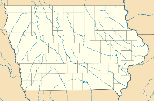 ADU  ADU Location of airport in Iowa/United States | |||||||||||
| Runways | |||||||||||
| |||||||||||
| Statistics (2005) | |||||||||||
| |||||||||||
Audubon County Airport (ICAO: KADU, FAA LID: ADU), formerly Audubon Municipal Airport, is a public airport located one mile (2 km) southeast of the central business district of Audubon, a city in Audubon County, Iowa, United States. It is owned by the Audubon County Airport Authority.[1]
Although most U.S. airports use the same three-letter location identifier for the FAA and IATA, Audubon County Airport is assigned ADU by the FAA but has no designation from the IATA (which assigned ADU to Ardabil Airport in Ardabil, Iran).[2][3]
Facilities and aircraft
Audubon County Airport covers an area of 46 acres (19 ha) which contains one concrete paved runway (14/32) measuring 3,640 x 60 ft (1,109 x 18 m). For the 12-month period ending September 28, 2005, the airport had 2,562 aircraft operations: 96% general aviation and 4% air taxi.[1]
References
- 1 2 3 FAA Airport Master Record for ADU (Form 5010 PDF), effective 2007-10-25
- ↑ KADU - Audubon, Iowa (Audubon County Airport) at Great Circle Mapper
- ↑ ADU / OITL - Ardabil, Iran at Great Circle Mapper
External links
- Resources for this airport:
- FAA airport information for ADU
- AirNav airport information for KADU
- FlightAware airport information and live flight tracker
- NOAA/NWS latest weather observations
- SkyVector aeronautical chart, Terminal Procedures