Attili
| Attili | |
|---|---|
| Mandal | |
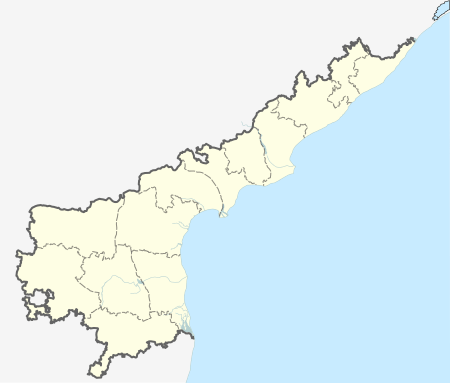
 Attili  Attili Location in Andhra Pradesh, India | |
| Coordinates: 16°42′00″N 81°36′00″E / 16.7000°N 81.6000°ECoordinates: 16°42′00″N 81°36′00″E / 16.7000°N 81.6000°E | |
| Country |
|
| State | Andhra Pradesh |
| District | West Godavari |
| Talukas | Attili |
| Elevation | 11 m (36 ft) |
| Population (2011) | |
| • Total | 68,196 |
| Languages | |
| • Official | Telugu |
| Time zone | IST (UTC+5:30) |
| PIN | 534134 |
| Vehicle registration | AP |
Attili is a Mandal in West Godavari district of the Indian state of Andhra Pradesh.[1] It belongs to Tanuku constituency in Kovvur revenue division.
Geography
This town is well connected to the major business hubs like Tadepalligudem, Tanuku & Bhimavaram through rail and bus routes. It is famous for Lord Subrahmanyeswara Swamy temple which they celebrate sashti every year. During the Panchayat works, they found the goddess "Sri Sri Sri Vijaya Chamundeswari Devi" Statue in subrahmanyaeswara swamy Water Pond on 29 June 2015, while Panchayat people were digging to increase the storage capacity of Water Pond. Under the supervision of village and panchayat heads, construction of the temple for the goddess has been started.
Villages in Attili Mandal: Aravalli,Ballipadu,Eduru,Gummampadu,Kanchumarru,Kommara,Manchili, Pali,Paluru,Skinnerapuram,Tirupatipuram,Unikili,Varighedu.
The town was named after great "Athri" maha muni.
Demographics
According to Indian census, 2001, the demographic details of Attili mandal is as follows:
- Total Population: 68,196 in 17,669 Households
- Male Population: 34,304 and Female Population: 33,892
- Children Under 6-years of age: 8,120 (Boys - 4,234 and Girls - 3,886)
- Total Literates: 47,610
- Present President: Kandula Kalpana
References
- ↑ "Mandal wise list of villages in West Godavari district" (PDF). Chief Commissioner of Land Administration. National Informatics Centre. Archived from the original (PDF) on 8 February 2015. Retrieved 8 March 2016.