Athi River (town)
| Athi River Mavoko | |
|---|---|
| Municipality | |
|
Photo of Athi River | |
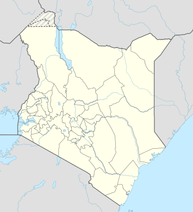 Athi River Location in Kenya | |
| Coordinates: 1°27′S 36°59′E / 1.450°S 36.983°E | |
| Country |
|
| County | Machakos County |
| Area[1] | |
| • Total | 693 km2 (268 sq mi) |
| Population (2009) | |
| • Total | 139,380[2] |
| Time zone | EAT (UTC+3) |
| Climate | Cwb |
| Website | mavokomunicipal.or.ke |
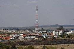
Athi River is a town outside Nairobi, Kenya in Machakos County. It is also known as Mavoko. The town hosts Mavoko Municipal Council and headquarters of Mavoko division which is part of Machakos County. It has a total population of 137,211 (2009 census[3]), and is relatively industrialised,with six cement factories located within its vicinity. These include Bamburi Cement, Mombasa Cement, East Africa Portland Cement Company, Savannah Cement, National Cement and Athi River Mining. The town is also a growing residential area due to its proximity to the capital.
Towns in Machakos County
| Town | Population (2009) | Rank in Kenya (Population Size) |
|---|---|---|
| Kangundo-Tala | 218,557 | 9 |
| Machakos | 150,041 | 13 |
| Athi River | 139,380 | 15 |
| Kathiani | 3,365 | 195 |
| Masii | 2,501 | 211 |
* 2009 census. Source:[2]
Transport
Athi River has a railway station built in 1920 along the Mombasa – Nairobi line. The Daystar University has a campus in the town. The town is named after Athi, the first part of the Athi-Galana river system.lt also has the 6th longest bridge in Africa or 2nd longest railway bridge in Africa at 2.8 km. This is part of the Standard Gauge Railway project.Athi river super major bridge
Athi River town is adjacent to and three kilometres from Kitengela town, but is part of the Machakos County in the former Eastern Province, while Kitengela belongs to Kajiado County in the former Rift Valley Province.
Mavoko was carved off the Nairobi County Council in 1963, when the latter was disbanded. Mavoko municipality has six wards (Athi River West, Katani, Kinanie/Mathani, Makadara, Muthwani and Sophia). All these wards belong to Kathiani constituency, which has a total of ten wards. The remaining four wards are within Masaku County Council.[4]
- Railway stations in Kenya
- Athi river super major bridge
References
- ↑ "Archived copy". Archived from the original on 13 May 2013. Retrieved 2013-08-13.
- 1 2 https://www.opendata.go.ke/Population/2009-Census-Vol-1-Table-3-Rural-and-Urban-Populati/e7c7-w67t/1
- ↑ http://kenya.usaid.gov/sites/default/files/profiles/Machakos%20County%2023%20Jan%202012.pdf
- ↑ Electoral Commission of Kenya: Registration centres by electoral area and constituency
- Daily Nation, 21 August 2000: Town touched by tragedy
External links
Nairobi metropolitan area | ||
|---|---|---|
Population - 7.8 million | ||
| Counties |  | |
| Major city 3.8 million | ||
| Urban Centres over 200K | ||
| Other major Urban Centres | ||
| Future developments | ||