Atarib
| Atarib أتارب | |
|---|---|
| Town | |
 Atarib Location of Atarib in Syria | |
| Coordinates: 36°08′20″N 36°49′48″E / 36.1389°N 36.83°ECoordinates: 36°08′20″N 36°49′48″E / 36.1389°N 36.83°E | |
| Country |
|
| Governorate | Aleppo |
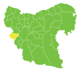
| District | Atarib |
| Subdistrict | Atarib |
| Elevation | 310 m (1,020 ft) |
| Population (2004)[1] | 10,657 |
| Time zone | EET (UTC+2) |
| • Summer (DST) | EEST (UTC+3) |
| Geocode | C1022 |
Atarib (Arabic: أتارب) is a town in western Aleppo countryside, Aleppo Governorate, Syria. Located 25 kilometres (16 miles) west of the city of Aleppo and 25 km (16 mi) southeast from Reyhanlı in Turkish-administered Hatay Province, it is the regional center of Atarib District. In the 2004 census, the town of Atarib had a population of 10,657.[1]
Atarib is the administrative center of Nahiya Atarib and Atarib District.
Atarib is a large trading and agricultural center in the governorate, and the community is characterized by its rural life. An archaeological site is located at the top of a hill in the center of the town.
References
- 1 2 "2004 Census Data for Nahiya Atarib" (in Arabic). Syrian Central Bureau of Statistics. Retrieved 15 October 2015. Also available in English: UN OCHA. "2004 Census Data". Humanitarian Data Exchange. Retrieved 4 December 2015.
Capital: Aleppo | ||||||||
|  | |||||||
|
| ||||||||
| ||||||||
| ||||||||
| ||||||||
| ||||||||

This article is issued from Wikipedia - version of the 10/21/2016. The text is available under the Creative Commons Attribution/Share Alike but additional terms may apply for the media files.