Assiut Airport
| Assiut Airport مطار أسيوط | |||||||||||
|---|---|---|---|---|---|---|---|---|---|---|---|
| IATA: ATZ – ICAO: HEAT | |||||||||||
| Summary | |||||||||||
| Airport type | Public | ||||||||||
| Operator | Government | ||||||||||
| Serves | Assiut (or Asyut), Egypt | ||||||||||
| Elevation AMSL | 772 ft / 231 m | ||||||||||
| Coordinates | 27°02′47″N 31°00′43″E / 27.04639°N 31.01194°ECoordinates: 27°02′47″N 31°00′43″E / 27.04639°N 31.01194°E | ||||||||||
| Map | |||||||||||
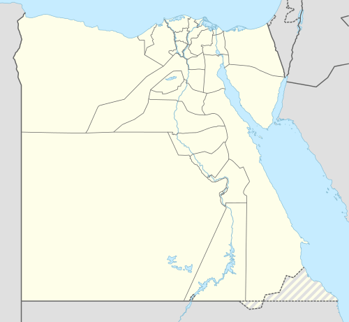 ATZ Location of airport in Egypt | |||||||||||
| Runways | |||||||||||
| |||||||||||
Assiut Airport (Arabic: مطار أسيوط) (IATA: ATZ, ICAO: HEAT) is an airport in Assiut (or Asyut), Egypt.
Airlines and destinations
| Airlines | Destinations |
|---|---|
| Air Arabia | Sharjah |
| Air Cairo | Amman, Doha, Jeddah, Buraidah, Kuwait |
| EgyptAir | Cairo, Kuwait[3] |
| FlyEgypt | Kuwait[4] |
| Flynas | Jeddah, Riyadh |
| Jazeera Airways | Doha, Kuwait |
See also
References
- ↑ Airport information for HEAT at World Aero Data. Data current as of October 2006.Source: DAFIF.
- ↑ Airport information for ATZ at Great Circle Mapper. Source: DAFIF (effective October 2006).
- ↑ Egypt Air destinations Archived February 22, 2008, at the Wayback Machine.
- ↑ http://airlineroute.net/2016/04/25/ft-may16update1/
External links
This article is issued from Wikipedia - version of the 12/4/2016. The text is available under the Creative Commons Attribution/Share Alike but additional terms may apply for the media files.