Asalfa
| Asalfa | |
|---|---|
| neighbourhood | |
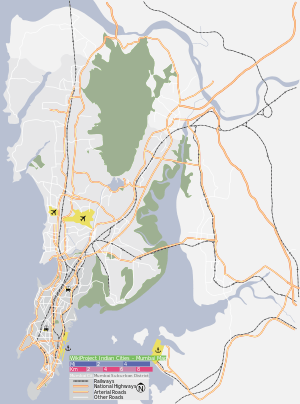 Asalfa Location in Mumbai, India | |
| Coordinates: 19°05′28″N 72°54′04″E / 19.091°N 72.901°ECoordinates: 19°05′28″N 72°54′04″E / 19.091°N 72.901°E | |
| Country |
|
| State | Maharashtra |
| District | Mumbai Suburban |
| Metro | Mumbai |
| Ward | N |
| Government | |
| • Body | MCGM |
| Elevation | 23 m (75 ft) |
| Languages | |
| • Official | Marathi |
| Time zone | IST (UTC+5:30) |
| PIN | 400084[1] |
| Area code(s) | 022 |
| Vehicle registration | MH 03 |
| Civic agency | BMC |
Asalfa is a neighbourhood in Ghatkopar (West), a suburb of Mumbai, India. It gets its name from the East Indian village by the same name. It is located on the Andheri-Ghatkopar link road on the slopes of the Ghatkopar hills. The landscape consists of many elevations and the road leading up to the neighbourhood from LBS Marg is a steep uphill climb.
Asalfa is well connected by BEST bus routes to Ghatkopar railway station. (340, 334, 421, 429, 325) Andheri railway station (340, 334, 410) Kurla railway station (325) & Chandivali (421) as well as Oshiwara (444), Borivali (226 Ltd, 470 Ltd) and Mahim (321 Ltd).
Line 1 of the Mumbai Metro passes through Asalfa.[2] The construction of Jagruti Nagar metro station & Asalpha metro station in this locality has led to rapid development of infrastructure in and around Asalfa.
Many hospitals are present in the area including Vivek Diagnostic Centre, Abhishek Hospital, Pooja Hospital and Sona Hospital.
One of the known schools in Asalpha is AIES High School (All India Education Society High School) which has been providing affordable education to the community for the past 3 decades.
References
- ↑ "Pin code : Asalfa, Mumbai". pincode.org.in. Retrieved 5 February 2015.
- ↑ "MMRDA hopes to acquire Asalfa plot soon for Metro rail corridor". Indian Express. 11 January 2012. Retrieved 23 August 2012.