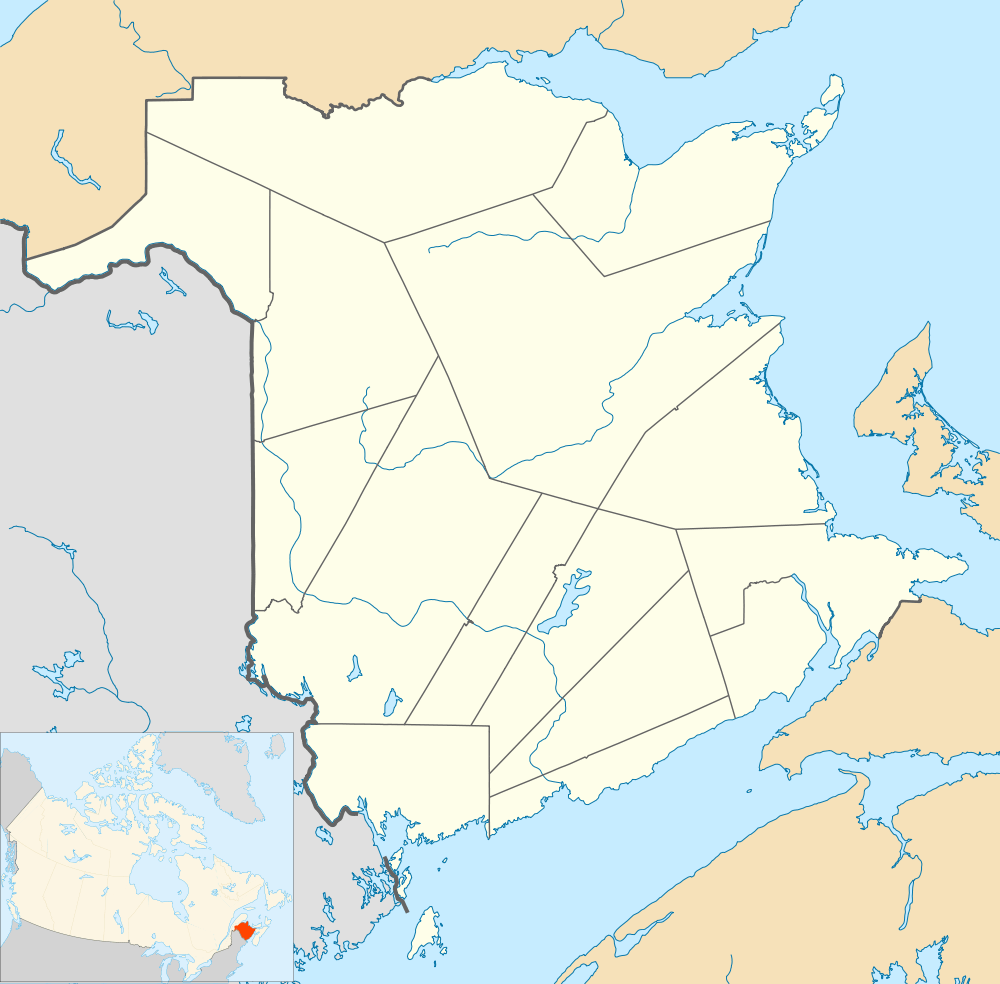
Arthurette, New Brunswick

Arthurette
Location of Arthurette in New Brunswick
Coordinates: 46°47′29″N 67°29′12″W / 46.7915°N 67.486778°W
Arthurette is a Canadian farming community in Victoria County, New Brunswick.[1] It is located on the Tobique River halfway between the villages of Plaster Rock and Perth-Andover. The community is located where the Route 109 and Route 390 change banks of the Tobique River.[2]
History
Notable people
Main article: List of people from Victoria County, New Brunswick
- Former New Brunswick Premier John B. McNair was raised in Arthurette.
See also
References
- ↑ "Arthurette". Geographical Names Data Base. Natural Resources Canada. Retrieved 7 March 2015.
- ↑ Arthurette, NB, Canada (Map). Google. Retrieved 7 March 2015.
This article is issued from Wikipedia - version of the 3/7/2015. The text is available under the Creative Commons Attribution/Share Alike but additional terms may apply for the media files.