Ardonald
| Ardonald | |
 Ardonald |
|
| OS grid reference | NJ4544 |
|---|---|
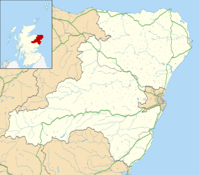
| Council area | Aberdeenshire |
| Country | Scotland |
| Sovereign state | United Kingdom |
| Police | Scottish |
| Fire | Scottish |
| Ambulance | Scottish |
| EU Parliament | Scotland |
Coordinates: 57°29′N 2°55′W / 57.48°N 02.91°W
Ardonald is a rural area near Cairnie in Aberdeenshire, Scotland.[1][2]
References
- ↑ Ordnance Survey: Landranger map sheet 28 Elgin & Dufftown (Buckie & Keith) (Map). Ordnance Survey. 2013. ISBN 9780319231029.
- ↑ "Ordnance Survey: 1:50,000 Scale Gazetteer" (csv (download)). www.ordnancesurvey.co.uk. Ordnance Survey. 1 January 2016. Retrieved 30 January 2016.
This article is issued from Wikipedia - version of the 1/31/2016. The text is available under the Creative Commons Attribution/Share Alike but additional terms may apply for the media files.