Arauco Province
| Arauco Province Provincia de Arauco | ||
|---|---|---|
| Province | ||
|
General view of Lebu | ||
| ||
 Location in the Region | ||
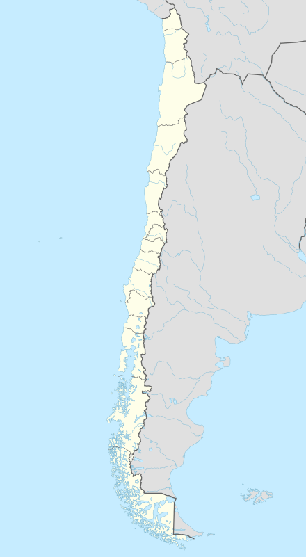 Arauco Province Location in Chile | ||
| Coordinates: 37°46′S 73°20′W / 37.767°S 73.333°WCoordinates: 37°46′S 73°20′W / 37.767°S 73.333°W | ||
| Country | Chile | |
| Region | Bío Bío | |
| Capital | Lebu | |
| Communes | ||
| Government | ||
| • Type | Provincial | |
| • Governor | Flor Isabel Weisse Novoa | |
| Area[1] | ||
| • Total | 5,643.3 km2 (2,178.9 sq mi) | |
| Population (2012 Census)[1] | ||
| • Total | 157,052 | |
| • Density | 28/km2 (72/sq mi) | |
| • Urban | 117,569 | |
| • Rural | 39,686 | |
| Sex[1] | ||
| • Men | 79,263 | |
| • Women | 77,992 | |
| Time zone | CLT [2] (UTC-4) | |
| • Summer (DST) | CLST [3] (UTC-3) | |
| Area code(s) | 56 + 41 | |
| Website | Governorate of Arauco | |


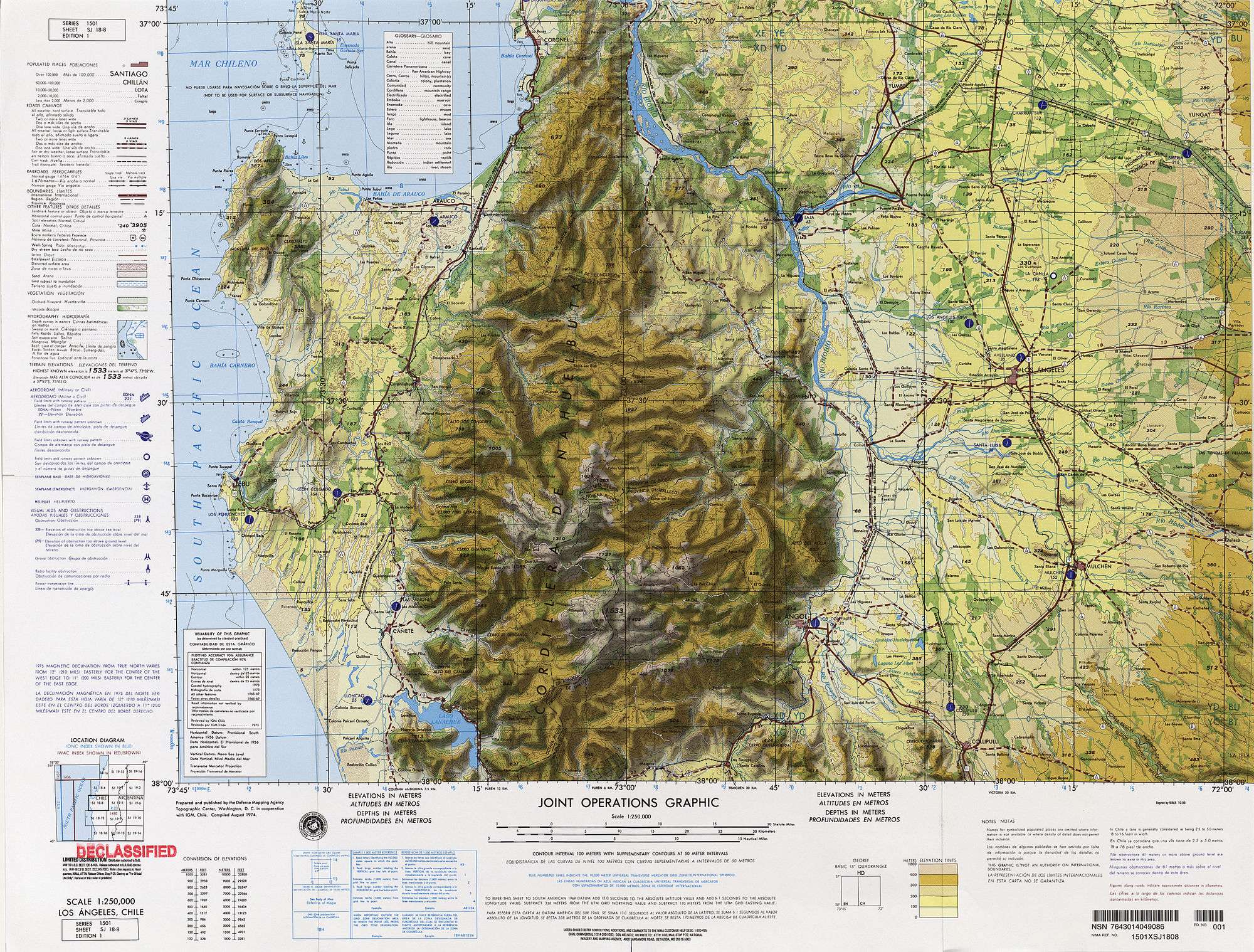
Arauco Province (Spanish: Provincia de Arauco) is one of four provinces of the Chilean region of Bío Bío (VIII). It spans a coastal area of 6,366 km2 (2,458 sq mi) just south of the mouth of the Biobío River, the traditional demarcation between the nation's major natural regions, Zona Central and Zona Sur. The province originally covered the once-independent indigenous territory of Araucanía, but this was afterward divided into four provinces. It is devoted largely to agricultural pursuits. The capital Lebu (population 25,000) is situated on the coast about 90 km (56 mi) south of Concepción with which it is connected by rail.
Administration
As a province, Arauco is a second-level administrative division of Chile, governed by a provincial governor who is appointed by the president.
Communes
The province is composed of seven communes, each governed by a municipality consisting of an elected alcalde and municipal council.
- Arauco
- Cañete
- Contulmo
- Curanilahue
- Lebu (provincial capital)
- Los Álamos
- Tirúa
Geography and demography
According to the 2002 census by the National Statistics Institute (INE), the province spans an area of 5,457.2 km2 (2,107 sq mi)[1] and had a population of 157,255 inhabitants (79,263 men and 77,992 women), giving it a population density of 28.8/km2 (75/sq mi). Of these, 117,569 (74.8%) lived in urban areas and 39,686 (25.2%) in rural areas. Between the 1992 and 2002 censuses, the population grew by 5% (7,554 persons).[1]
References
-
 This article incorporates text from a publication now in the public domain: Chisholm, Hugh, ed. (1911). "Arauco". Encyclopædia Britannica (11th ed.). Cambridge University Press.
- 1 2 3 4 5 "Territorial division of Chile" (PDF) (in Spanish). National Statistics Institute. 2007. Retrieved 18 March 2011.
- ↑ "Chile Time". WorldTimeZones.org. Archived from the original on 13 July 2010. Retrieved 2010-07-28.
- ↑ "Chile Summer Time". WorldTimeZones.org. Archived from the original on 2007-09-11. Retrieved 2010-07-28.
