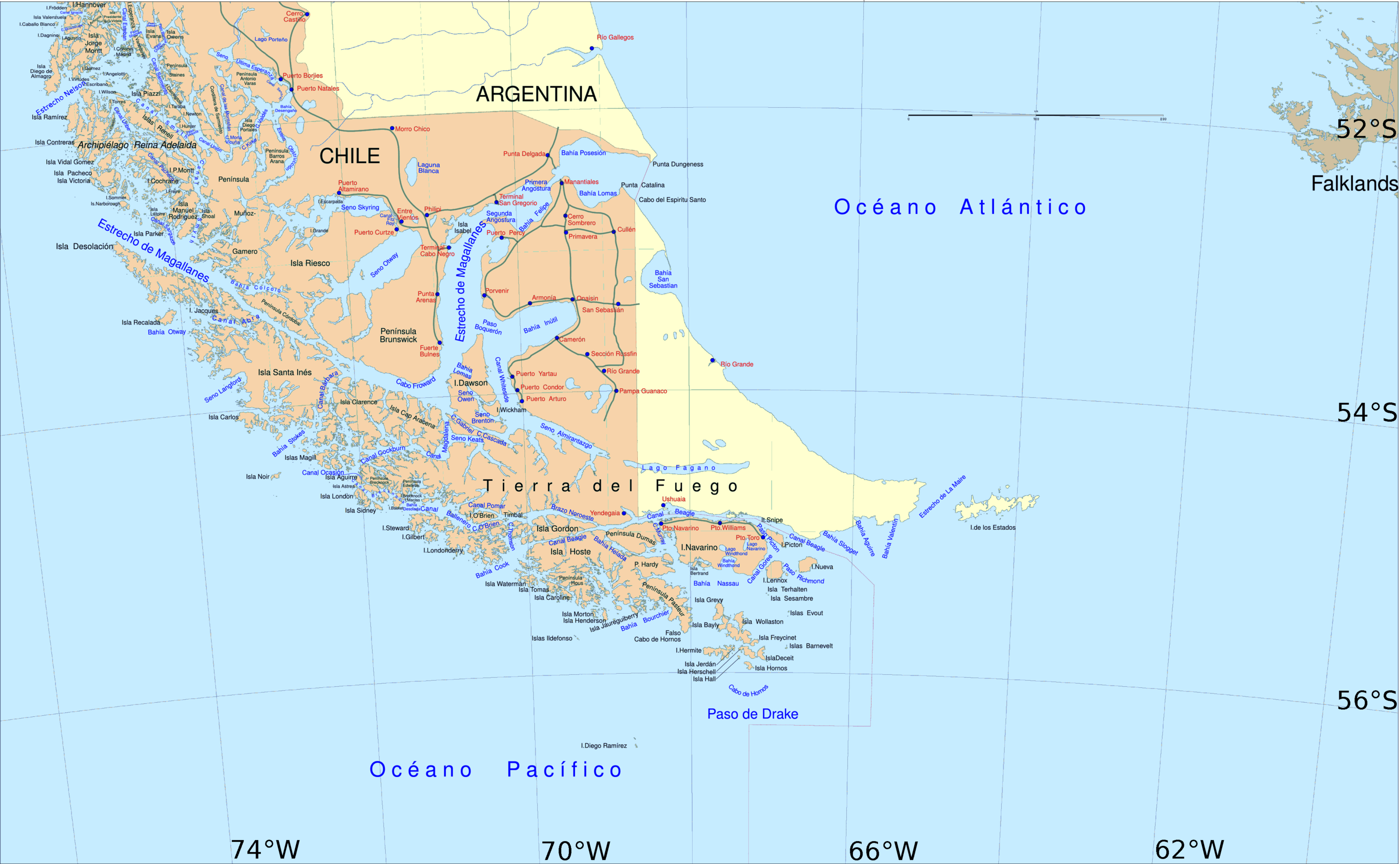
Aracena Island
| Native name: <span class="nickname" ">Isla Aracena | |
|---|---|
 Aracena Island, at the Strait of Magellan | |
| Geography | |
| Coordinates | 54°10′S 71°20′W / 54.167°S 71.333°WCoordinates: 54°10′S 71°20′W / 54.167°S 71.333°W |
| Area | 1,164 km2 (449 sq mi) |
| Coastline | 457 km (284 mi) |
| Highest elevation | 1,158 m (3,799 ft) |
| Highest point | Monte Vernal[1] |
| Administration | |
| Region | Magallanes Region |
| Province | Magallanes Province |
| Communes of Chile | Punta Arenas |
| Additional information | |
| NGA UFI -875166 | |
Aracena Island (Spanish: Isla Aracena or Isla Capitán Aracena) is an island in the Magallanes Region. It belongs to the Tierra del Fuego archipelago. The United States Hydrographic Office in South America Pilot (Year 1916, page 316) erroneously located Mount Vernal on the Clarence Island.
References
- ↑ "South America Island High Points above 1000 meters". Peakbagger.com.
This article is issued from Wikipedia - version of the 11/11/2016. The text is available under the Creative Commons Attribution/Share Alike but additional terms may apply for the media files.