Anyanui
| Anyanui | |
|---|---|
| Village | |
|
Market in Anaynui, 2012 | |
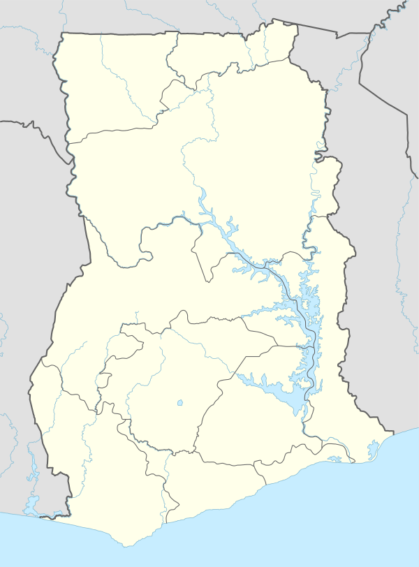 Anyanui Location in Ghana | |
| Coordinates: 5°47′0″N 0°44′0″E / 5.78333°N 0.73333°ECoordinates: 5°47′0″N 0°44′0″E / 5.78333°N 0.73333°E | |
| Country |
|
| Region | Volta Region |
| District | Keta Municipal District |
| Population | |
| • Ethnicities | Ewe people |
| Time zone | GMT |
| • Summer (DST) | GMT (UTC) |

Anyanui is a village in Keta Municipal District.
Anyanui is connected to Ada Foah by a ferry which runs every Wednesday, calling at a number of other villages on the way.[1]
Anyanui is subject to coastal erosion and a $60 million project has been initiated to cover the 2.7 kilometres between Anyanui and Akplortorkor.[2]
References
- ↑ "Ferry Ada Foah Anyanui". Ezime Guesthouse. Retrieved 2 May 2014.
- ↑ "Government advised to extend sea defence wall to Anyanui and Aflao". Vibe Ghana. Retrieved 2 May 2014.
This article is issued from Wikipedia - version of the 5/1/2016. The text is available under the Creative Commons Attribution/Share Alike but additional terms may apply for the media files.