Antongil Bay
| Antongil Bay | |
|---|---|
 | |
| Location |
Analanjirofo |
| Coordinates | 15°45′00″S 49°50′25″E / 15.75000°S 49.84028°ECoordinates: 15°45′00″S 49°50′25″E / 15.75000°S 49.84028°E |
| River sources | Antainambalana River |
| Ocean/sea sources | Indian Ocean |
| Basin countries |
|
| Settlements | Maroantsetra |
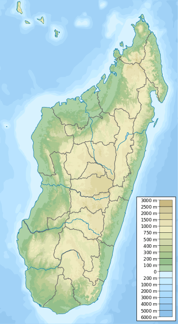
Helodranon' Antongila (Bay of Antongila), more commonly called Antongil Bay in English, is the largest bay in Madagascar. It is at the northern end of the east coast of the island and for administrative purposes it is within Analanjirofo Region. The bay is about 60 kilometres (37 mi) long and 30 kilometres (19 mi) wide, and is formed by the Masoala peninsula on its eastern side. At the northern end of the bay is the island of Nosy Mangabe and the town of Maroantsetra.
In the southern end of the bay is found the town of Mananara Avaratra and the mouth of the Mananara River (Analanjirofo).
This article is issued from Wikipedia - version of the 9/2/2016. The text is available under the Creative Commons Attribution/Share Alike but additional terms may apply for the media files.