Anoumaba
| Anoumaba | |
|---|---|
| Town, sub-prefecture, and commune | |
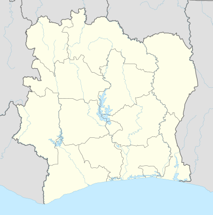 Anoumaba Location in Ivory Coast | |
| Coordinates: 6°20′N 4°31′W / 6.333°N 4.517°WCoordinates: 6°20′N 4°31′W / 6.333°N 4.517°W | |
| Country |
|
| District | Lacs |
| Region | Moronou |
| Department | M'Batto |
| Population (2014)[1] | |
| • Total | 19,463 |
| Time zone | GMT (UTC+0) |
Anoumaba is a town in south-central Ivory Coast. It is a sub-prefecture and commune of M'Batto Department in Moronou Region, Lacs District. The border with Lagunes District is 10 kilometres south of the town.
References
- ↑ "Côte d'Ivoire". geohive.com. Retrieved 9 December 2015.
Regional seat: Bongouanou | ||
| Arrah Department |  | |
| Bongouanou Department | ||
| M'Batto Department | ||
* also a commune | ||
This article is issued from Wikipedia - version of the 2/11/2016. The text is available under the Creative Commons Attribution/Share Alike but additional terms may apply for the media files.