Andautonia
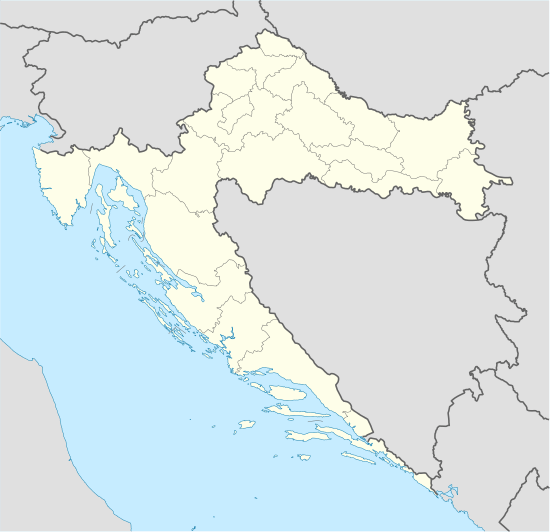 Shown within Croatia | |
| Alternate name | Dautonia |
|---|---|
| Location | Šćitarjevo, Zagreb County, Croatia |
| Coordinates | 45°46′24.8″N 16°7′0.7″E / 45.773556°N 16.116861°ECoordinates: 45°46′24.8″N 16°7′0.7″E / 45.773556°N 16.116861°E |
| Type | Settlement |
| Area | over 2,000 m2 (22,000 sq ft) |
| History | |
| Founded | 1st c. |
| Abandoned | 5th c. |
| Site notes | |
| Excavation dates | 1883– |
| Public access | yes |
| Website |
www |
Andautonia was a Roman settlement located on the southern bank of the river Sava, located in the modern-day village of Šćitarjevo, southeast of the city of Zagreb, Croatia.
Andautonia was located in the Roman province of Pannonia, on the Roman road connecting Poetovia (modern Ptuj) and Siscia (Sisak).[1] The name Andautonia was mentioned by the ancient geographer Ptolemaeus, while the name Dautonia was mentioned in the Antonine Itinerary.[1] The road connected Andautonia with Poetovium via Pyrri and Aquaviva to the north, and Siscia to the south.[2] The settlement existed between the 1st and the 4th century, after which it is believed to have been destroyed during the Great Migration in Europe.[3]
In the modern age, its name was first found on a stone tablet recovered in Stenjevec in 1758 and then another one in Šćitarjevo in 1768.[4] During the 19th century, Roman stone and brick material that could still be found in these areas was by and large removed and reused in the construction of new buildings, thereby removing the surface traces of Andautonia's location.[5] The settlement's location was disputed at the time, with various claims made by cartographers and historians including Latius, Lapie, Reichard, d'Anville, Krčelić, Blašković, Katančić and Kukuljević. It was finally properly deduced by Theodor Mommsen and published in the Corpus Inscriptionum Latinarum in 1873.[6] The Zagreb Archaeological Museum subsequently started its first excavations in Šćitarjevo and found numerous Roman artifacts at the depth of about 1 metre (3.3 ft).[7]
The Museum staff returned to the site for a series of explorations between 1969 and 1980, and since 1981 they also analyzed the garden of the parish office in the center of the village. They recovered traces of streets, the sewer system, various buildings, city walls and a necropolis.[3] In 1994, an archeological park was first built in the village center.[3]
References
- 1 2 Ljubić 1883, p. 1.
- ↑ Ljubić 1883, p. 10.
- 1 2 3 Kušan & Nemeth-Ehrlich 1996, p. 30.
- ↑ Ljubić 1883, p. 1–2.
- ↑ Ljubić 1883, p. 11.
- ↑ Ljubić 1883, pp. 1–9.
- ↑ Ljubić 1883, p. 11–13.
Sources
- Ljubić, Šime (November 1883). "Andautonia (Šćitarjevo)". Journal of the Zagreb Archaeological Museum (in Croatian). 5 (1).
- Kušan, Dora; Nemeth-Ehrlich, Dorica (January 1996). "Arheološki park Andautonija u Ščitarjevu". Informatica Museologica (in Croatian). Zagreb: Museum documentation centre. 25 (1-4).