Anafotia
| Anafotia | |
|---|---|
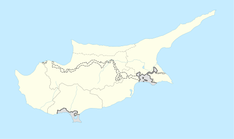 Anafotia Location in Cyprus | |
| Coordinates: 34°49′26″N 33°27′49″E / 34.82389°N 33.46361°ECoordinates: 34°49′26″N 33°27′49″E / 34.82389°N 33.46361°E | |
| Country |
|
| District | Larnaca District |
| Population (2011)[1] | |
| • Total | 790 |
| Time zone | EET (UTC+2) |
| • Summer (DST) | EEST (UTC+3) |
| Website |
www |
Anafotia (Greek: Aναφωτιά or Αναφωτία; Turkish: Akkor) is a village located in the Larnaca District of Cyprus, west of Larnaca. In 1994, the official name of the village became Anafotida (Aναφωτίδα), following a decision by the then-government of Cyprus to make the names of villages on the island more Greek. However, locally the village is still referred to as Anafotia.
Anafotia is mainly agricultural, with tomatoes being a dominant crop. The village centre is small, but there are a number of cafes, a branch of the Co-operative Bank and four churches. The original church is dedicated to St Photeine. A new church was begun in the 1930s dedicated to St Dimitrianos. In his 1936 book Historic Cyprus the British colonial officer Rupert Gunnis thought the new church was so badly constructed it 'may well fall down', a prediction that came true twenty years later.[2]
In the 2008 presidential election the village voted overwhelmingly for the right-wing DISY candidate Ioannis Kasoulidis (68 percent), against the Communist Party AKEL candidate Dimitris Christofias (32 percent).[3]
Notable people
- Ioannis Eoannou, EOKA fighter
- Stass Paraskos, artist and founder of the Cyprus College of Art
- Michalakis Parides, EOKA fighter (killed in action 1958)
References
- ↑ "C1. POPULATION ENUMERATED BY SEX, AGE, DISTRICT, MUNICIPALITY/COMMUNITY AND QUARTER (1.10.2011)", Population - Place of Residence, 2011, Statistical Service of the Republic of Cyprus, 2014-04-17, retrieved 2014-04-20
- ↑ Rupert Gunnis, Historic Cyprus (London: Methuen 1936) 163
- ↑ Government of Cyprus Statistical Service
