Am Timan
| Am Timan | |
|---|---|
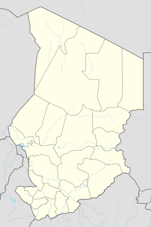 Am Timan Location in Chad | |
| Coordinates: 11°2′N 20°17′E / 11.033°N 20.283°ECoordinates: 11°2′N 20°17′E / 11.033°N 20.283°E | |
| Country |
|
| Region | Salamat Region |
| Department | Barh Azoum |
| Sub-Prefecture | Am Timan |
| Elevation | 407 m (1,335 ft) |
| Population (2012) | |
| • Total | 38,261 |
| Time zone | + 1 |
Am Timan is a city in Chad and is the capital of the region of Salamat. In Arabic, Am Timan means "mother of twins," although the reason for the name is not known. As the capital of the prefecture, it has the area's secondary school and a clinic, and hosts the largest market day and holiday celebrations.
During the conflict period, a cotton plantation and processing plant just outside the city were destroyed.
The city's sand airport was upgraded by the French Foreign Legion in 1971 to allow military air transports to supply the anti-rebel effort. At the time, the only practical way in or out of the city was by air.
Since the dry season lasts for about seven months of the year, water becomes a problem as the dry season progresses. Aquifers are accessed by digging deeper and deeper into the bed of the Bahr Salamat (river). The river becomes strong flowing with the onset of rain, however, and the children enjoy swimming in it.
History
October 2006
On 23 October 2006, the city was claimed to be captured by Union of Forces for Democracy, the main Chadian rebel group. The government of Chad disputed this claim.[1]
Demographics
| Year | Population[2] |
|---|---|
| 1993 | 21 269 |
| 2008 | 30 443 |