Alston Block
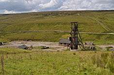
Groverake Mine, Rookhope
The Alston Block is a term used by geologists to describe the geological structure of the North Pennines of northern England and which forms a part of the Pennine Block & Basin Province which originated during the Carboniferous period. It is defined by the Stublick and Ninety Fathom faults to the north, the Pennine Fault to the west and the Stainmore Trough to the south. It is in essence a horst underlain by the Weardale Granite which provides sufficient buoyancy to maintain this piece of the upper crust as an area of raised relief. To its west lies the Vale of Eden and to its north is the Northumberland Trough.[1] The area is also known for its mineral wealth.
See also
Geological Structure of Great Britain
References
- ↑ British Geological Survey. 1996, Tectonic Map of Britain, Ireland & adjacent areas, Pharaoh et al. 1:1500 000 (Keyworth, BGS)
This article is issued from Wikipedia - version of the 2/7/2014. The text is available under the Creative Commons Attribution/Share Alike but additional terms may apply for the media files.