Alheimer
| Alheimer | |
|---|---|
 The Alheimer | |
| Highest point | |
| Elevation | 548 m (1,798 ft) |
| Coordinates | 51°02′12″N 9°43′54″E / 51.03667°N 9.73167°ECoordinates: 51°02′12″N 9°43′54″E / 51.03667°N 9.73167°E |
| Geography | |
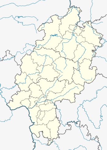
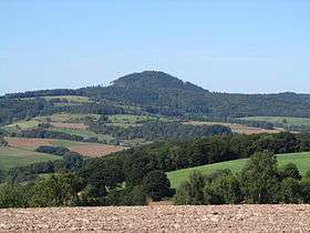
The Alheimer is a hill in Hesse, Germany.
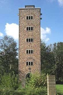
The Alheimer Tower
The Alheimer is located in the Stölzinger Hills. The nearby village of Alheim is named after the hill. On top of the Alheimer is an observation tower, The Alheimer Tower (Alheimer-Turm). The tower is 21 metres (69 ft) high and surrounded by a memorial site to the two world wars. In clear weather visitors on the tower's observation deck can see the Wartburg near Eisenach, the Meißner mountain in the Knüllgebirge range, the Rhön Mountains and the Habichtswald near Kassel.
There is only a narrow footpath to the top of the hill.
This article is issued from Wikipedia - version of the 12/4/2015. The text is available under the Creative Commons Attribution/Share Alike but additional terms may apply for the media files.