Al Khor Airport
| Al Khor Airport | |||||||||||
|---|---|---|---|---|---|---|---|---|---|---|---|
 | |||||||||||
| IATA: none – ICAO: OTBK | |||||||||||
| Summary | |||||||||||
| Airport type | Public | ||||||||||
| Operator | Qatar Civil Aviation Authority | ||||||||||
| Location |
Al Khor, Qatar | ||||||||||
| Elevation AMSL | 10 ft / 03 m | ||||||||||
| Coordinates | 25°37′46″N 51°30′24″E / 25.62944°N 51.50667°ECoordinates: 25°37′46″N 51°30′24″E / 25.62944°N 51.50667°E | ||||||||||
| Map | |||||||||||
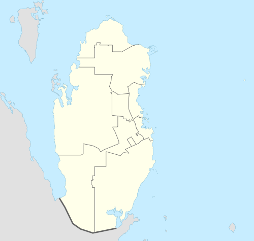 Al Khor Airport Location of airport in Qatar | |||||||||||
| Runways | |||||||||||
| |||||||||||
Al Khor Airport (ICAO: OTBK) is located South of Al Khor in Qatar. The airport is mostly used by General aviation aircraft and has served as the venue of the annual Al Khor Fly-In since 2008. The fly-in lasts for two days and allows visitors to travel in and spectate aircraft. Aircraft from other GCC countries are showcased at the event.[2] There are two aprons available with a PCN of 45. The northern apron is able to accommodate 6 aircraft like Cessna 172 and the southern apron is able to accommodate two similar aircraft.[3]
See also
References
- ↑ Airport information for OTBK at World Aero Data. Data current as of October 2006.Source: DAFIF.
- ↑ Shabina S. Khatri (10 January 2014). "Seventh annual Al Khor Fly-In kicks off this weekend". Doha News. Retrieved 30 November 2015.
- ↑ "Al Khor Fly in".
This article is issued from Wikipedia - version of the 8/28/2016. The text is available under the Creative Commons Attribution/Share Alike but additional terms may apply for the media files.