Habbaniyah
| Al-Habbaniyah الحبانية Habbaniyah | |
|---|---|
 Al-Habbaniyah | |
| Coordinates: 33°22′55″N 43°34′38″E / 33.38194°N 43.57722°E | |
| Country |
|
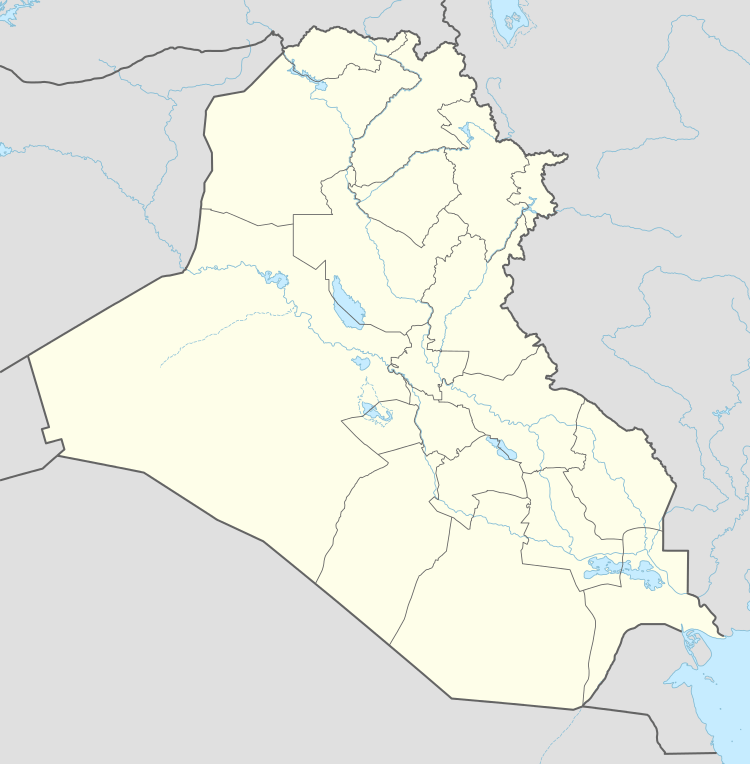
| Province | Al-Anbar |
| Time zone | GMT+3 (UTC+3) |
| Postal code | 31008 |
Al Habbaniyah or Habbaniya (Arabic: الحبانية) is a city in Al-Anbar Province, in central Iraq. A military airfield, RAF Habbaniya, was the site of a battle in 1941, during World War II. Lake Habbaniyah is also nearby.
On 25 May 1941, Second Battalion of the Fourth Gurkha Rifles (2/4 GR), forming part of 10 Indian Infantry Division, was airlifted to reinforce and secure Habbaniyah, which was a Royal Air Force base under threat from Iraqi ground troops and the German Luftwaffe, based in Mosul, and Baghdad.[1] It has 74,217 citizens.
Climate
| Climate data for Habbaniyah | |||||||||||||
|---|---|---|---|---|---|---|---|---|---|---|---|---|---|
| Month | Jan | Feb | Mar | Apr | May | Jun | Jul | Aug | Sep | Oct | Nov | Dec | Year |
| Average high °C (°F) | 16 (60) |
18 (65) |
23 (73) |
30 (86) |
37 (98) |
41 (106) |
44 (111) |
44 (111) |
41 (105) |
33 (92) |
24 (76) |
17 (63) |
31 (87) |
| Average low °C (°F) | 4 (39) |
6 (42) |
9 (48) |
14 (58) |
20 (68) |
23 (73) |
26 (78) |
25 (77) |
21 (70) |
16 (60) |
11 (51) |
6 (42) |
15 (59) |
| Average precipitation mm (inches) | 20 (0.8) |
20 (0.8) |
28 (1.1) |
10 (0.4) |
3 (0.1) |
0 (0) |
0 (0) |
0 (0) |
0 (0) |
3 (0.1) |
20 (0.8) |
20 (0.8) |
130 (5) |
| Source: Weatherbase [2] | |||||||||||||
References
- ↑ Col Mackay, JN, compilers, JN (1952). "II". In Lieutenant Colonel CG Borrowman, CG. History of the 4th Prince of Wales's Own Gurkha Rifles, 1938–1948, vol III (29-43 ed.). London: William Blackwood. pp. 22–31.
- ↑ "Weatherbase: Historical Weather for Habbaniyah, Iraq". Weatherbase. 2011. Retrieved on November 24, 2011.
Coordinates: 33°22′N 43°34′E / 33.367°N 43.567°E
This article is issued from Wikipedia - version of the 9/19/2016. The text is available under the Creative Commons Attribution/Share Alike but additional terms may apply for the media files.