Al Bithnah
| Al Bithnah | |
|---|---|
 Al Bithnah | |
| Coordinates: 25°11′20″N 56°13′58″E / 25.18889°N 56.23278°ECoordinates: 25°11′20″N 56°13′58″E / 25.18889°N 56.23278°E | |
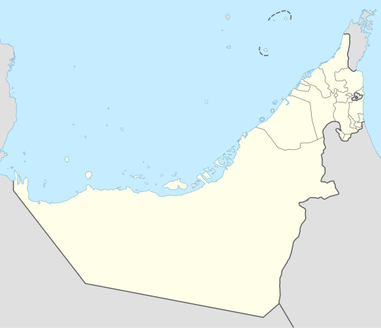
| Country | United Arab Emirates |
| Emirate | Fujairah |
| Elevation | 0 m (3 ft) |

Bithnah is a village in Fujairah, United Arab Emirates, long occupying a strategic location in the Wadi Ham, which is the only natural link to the interior of the UAE and the Persian Gulf from the East Coast city, and Emirate, of Fujairah.
Located between Fujairah City and Masafi, the village is unremarkable other than it is the site of a significant stone, mud-brick and adobe fort and a little-known megalithic tomb that links the village to a 3,000-year-old trade route along Wadi Ham through the Hajar Mountains from the East Coast emirate of Fujairah through Masafi (itself part of Ras Al Khaimah) and Manama down to the desert town of Dhaid and then to Sharjah and the Persian Gulf. It has traditionally been inhabited by members of the Sharqiyin (Al Sharqi) tribe.[1]
History
The megalithic tomb at Bithnah was first excavated by the Swiss-Liechtenstein Foundation for Archaeological Research Abroad (SLFA) between 1987 and 1991. Presided over by Prince Hans-Adam II of Liechtenstein, and directed in the field by Pierre Corboud, the SLFA team conducted several seasons of survey in the mountainous inland area of Fujairah, including the excavations at Bithnah, where a megalithic communal grave site was uncovered as well as a number of Iron Age finds.[2] There have also been excavations by teams from the University of Geneva and French National Research Centre.
Significant Iron Age finds have been made throughout the area, including a number of petroglyphs.[3]
Bithnah was the site of a significant battle in 1745, according to the historian Ibn Ruzaiq,[4] between members of the Qawasim (Al Qasimi) and Na'im tribes and the Omani Imam and governor of Sohar, Ahmed bin Said.
Bithnah Fort
Bithnah Fort is thought to date back to the late 18th century, having been built as a result of the Wahhabi incursions of the early 1800s[5] following the battle of Bithnah. The fort is constructed from stone, mud-brick, adobe and palm-wood planking.
Prior to the construction of the road to Masafi, in the 1970s, traffic through to the interior from the coast passed through the bed of the wadi, overlooked by the fort which would have occupied a strategic location - in fact, Bithnah through the ages has been a strategic holding and was a key mainstay in the fortunes of the Sharqiyin through the 18th and early 19th centuries.[1]
Until recently, the fort was inhabited by a local man from Bitnah, Saed Ali Saed Al Yamahi.[5]
References
- 1 2 Lorimer, John (1906). Gazetteer of the Persian Gulf, Oman and Central Arabia. Government of India. p. 60.
- ↑ Corboud, Pierre (1994). Archaeological Survey of Fujairah, 3 (1993): Preliminary Report of the 1993 Campaign of the Archaeological Survey of Fujairah (United Arab Emirates), Volume 3. Berne: Swiss-Liechtenstein Foundation for Archaeological Research Abroad, 1994.
- ↑ "Campus Magazine" (PDF). University of Geneva Campus Magazine. University of Geneva. 1996. Retrieved September 2014. Check date values in:
|access-date=(help) - ↑ Badger, GP (1986). History of the Imams and Seyyids of Oman. UK: Darf Publishers Ltd. p. 166.
- 1 2 Ziolowski & Al Sharqi (May 2009). "Tales from the old guards: Bithnah Fort, Fujairah, United Arab Emirates". Arabian Archaeology and Epigraphy. doi:10.1111/j.1600-0471.2008.00307.x. Retrieved September 2014. Check date values in:
|access-date=(help)