Al-Husaisa
| al-Husaisa الحسيسه | |
|---|---|
| Village | |
 Location of Hadhramaut in South Yemen | |
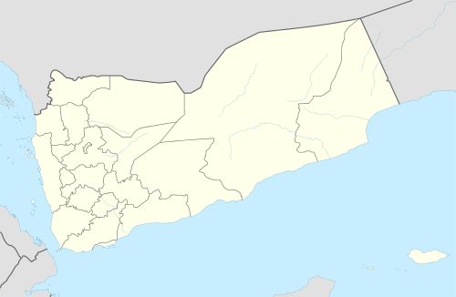 al-Husaisa al-Husaisa location in Yemen | |
| Coordinates: 15°59′08″N 48°52′17″E / 15.985423968718615°N 48.871521949768066°ECoordinates: 15°59′08″N 48°52′17″E / 15.985423968718615°N 48.871521949768066°E | |
| Country |
|
| Governorate | Hadramaut |
| Directorate | Sayun District |
| Elevation[1] | 634 m (2,080 ft) |
| Time zone | UTC+3 |
al-Husaisa (Arabic: الحسيسه ) is a village in Hadramaut, Yemen, about 617 kilometres (383 mi) east of the capital city of San'a. It is located 13.3 kilometres (8.3 mi) east of Seiyun and 6.8 kilometres (4.2 mi) west of Taribah. The village is accessible by taking an off-ramp from N-5 highway connecting Seiyun and Tarim. It is about 24 kilometres (15 mi) from Tarim heading west.
The village is very sparse as there is only a few houses built and some farms.[2] The village is known as the place where the Shrine of Imam Ahmad al-Muhajir or Rubath al-Muhajir (Arabic: رباط المهاجر) is located.
References
- ↑ "Elevation of al-Husaisa, Yemen". Retrieved July 11, 2014.
- ↑ Samar Damlūji, Salmá (1992). The valley of mud brick architecture: Shibām, Tarīm & Wādī Ḥaḍramūt : ancient to contemporary design. Garnet Pub. ISBN 978-1873938010. Retrieved Aug 20, 2014.
This article is issued from Wikipedia - version of the 10/29/2016. The text is available under the Creative Commons Attribution/Share Alike but additional terms may apply for the media files.