Akumadan
| Akumadan | |
|---|---|
| District Capital | |
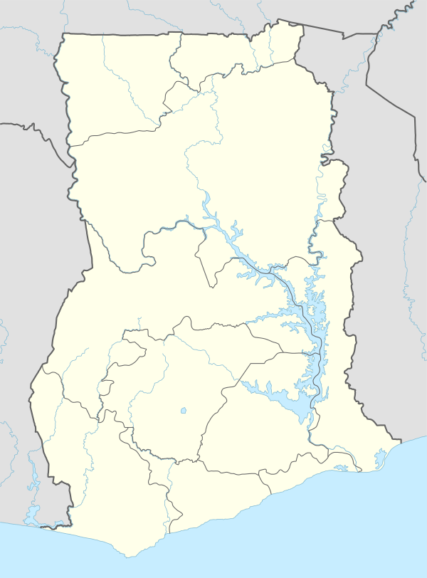 Akumadan Location in Ghana | |
| Coordinates: 7°24′N 1°57′W / 7.400°N 1.950°W | |
| Country |
|
| Region | Ashanti Region |
| District | Offinso North District |
| Elevation | 1,276 ft (389 m) |
Akumadan is the capital of Offinso North, a district in the Ashanti Region of Ghana.[1] Akumadan township is well known for its agricultural activities. All sorts of food crop can be planted on its soil but tomatoes are the largest crop. 90 percent of natives above 18 years are tomato farmers. They produce more tomatoes than any other town in Ghana. It has a dam that helps to irrigate some farmlands within its reach during dry seasons. Cassava, pepper, onion, garden eggs, plantain, maize etc. are also abundant. A company called Fomghana has acquired a large area of land for planting trees near a river that irrigates it.
The town is known for the Akumadan Secondary School.[2][3] The school is a second cycle institution.[4] The Asubima Forest Reserve is located about 9 kilometres (5.6 mi) east of Akumadan.[5] Akumadan is also the home of Akumadan Senior High School.[6]
References
- ↑ Touring Ghana - Ashanti Region
- ↑ "Educational Institutions". www.centralregion.gov.gh. Retrieved 12 August 2011.
- ↑ "References » Schools/Colleges". www.modernghana.com. Retrieved 12 August 2011.
- ↑ "List of Secondary Schools in Ghana". www.ghanaschoolsnet.com/. Retrieved 12 August 2011.
- ↑ Manu, Abdulai Prosper (October 2011). "Biodiversity monitoring in Asubima and Afrensu Brohuma Forest Reserves, Ghana" (PDF). FORM Ghana. Archived (PDF) from the original on 3 August 2014. Retrieved 3 August 2014.
- ↑ User, Super. "Akumadan Senior High School". www.greatakuss.com. Retrieved 2015-05-09.
Coordinates: 7°24′N 1°57′W / 7.400°N 1.950°W