Akkayyapalem
| Akkayyapalem అక్కయ్యపాలెం | |
|---|---|
| Neighbourhood | |
|
Akkayyapalem Road | |
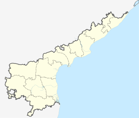
 Akkayyapalem Location in Andhra Pradesh, India | |
| Coordinates: 17°44′33″N 83°19′1″E / 17.74250°N 83.31694°ECoordinates: 17°44′33″N 83°19′1″E / 17.74250°N 83.31694°E | |
| Country |
|
| State | Andhra Pradesh |
| District | Visakhapatnam |
| Government | |
| • Type | Corporation |
| • Body | Greater Visakhapatnam Municipal Corporation |
| Elevation | 17 m (56 ft) |
| Languages | |
| • Official | Telugu |
| Time zone | IST (UTC+5:30) |
| PIN | 530016 |
Akkayyapalem (Telugu:అక్కయ్యపాలెం ) is one of the busiest commercial localities in the city of Visakhapatnam, India. It is a part of Visakhapatnam North Constituency.
Etymology
Akkayyapalem is along Dwaraka Nagar, the arterial road of Visakhapatnam. Akkayyapalem derives its name from Akkayya and palem (Place of Village)
Localities
Neighbouring localities include Dwaraka Nagar, Railway New Colony, Dondaparthy, Santhi puram and Tatichetlapalem. Lalithanagar, Nandagiri Nagar, Jagannadhapuram Abidnagar, Kailasapuram and Saligramapuram are important residential areas in Akkayyapalem.
Transport
Akkayyapalem is well connected to Gajuwaka, NAD X Road, Maddilapalem and Pendurthi. APSRTC has buses with route numbers 48, 48A, 38 through the area's bus stop. Local auto rickshaws are also available.
References
1.http://www.onefivenine.com/india/villages/Visakhapatanam/Visakhapatanam/Akkayyapalem

