Afdera (volcano)
| Afdera | |
|---|---|
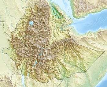 Afdera Location in NE Ethiopia | |
| Highest point | |
| Elevation | 1,295 m (4,249 ft) [1] |
| Coordinates | 13°05′N 40°51′E / 13.083°N 40.850°ECoordinates: 13°05′N 40°51′E / 13.083°N 40.850°E [1] |
| Geography | |
| Location | Ethiopia |
| Geology | |
| Mountain type | Stratovolcano |
| Last eruption | June 1907 |
Afdera is an isolated stratovolcano in northeastern Ethiopia, located at the intersection of three fault systems between the Erta Ale, Tat Ali, and Alayta mountain ranges.[1]
The volcano erupted lava from its western flanks June 1907. The flow was about five metres thick and was accompanied by seismic phenomena.[2]
See also
References
- 1 2 3 "Afderà". Global Volcanism Program. Smithsonian Institution. Retrieved 2011-09-26.
- ↑ "Local History in Ethiopia" The Nordic Africa Institute website (accessed 2 January 2008)
This article is issued from Wikipedia - version of the 12/21/2015. The text is available under the Creative Commons Attribution/Share Alike but additional terms may apply for the media files.