2014 Ecuador earthquake
 Quito | |
| Date | August 12, 2014 |
|---|---|
| Magnitude | 5.1 Mw |
| Depth | 11.9 km (7.4 mi) |
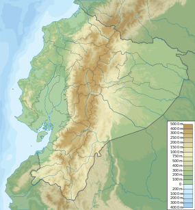
| Epicenter | 0°01′N 78°19′W / 0.02°N 78.32°WCoordinates: 0°01′N 78°19′W / 0.02°N 78.32°W |
| Areas affected | Ecuador |
| Casualties | 4 dead |
On August 12, 2014 a magnitude 5.1 earthquake struck Ecuador 22 km (14 mi) west-southwest of Cayambe at a depth of 11.9 km (7.4 mi).[1] The earthquake shook Ecuador's capitol Quito 32 km (20 mi) away causing large dust clouds and prompting the temporary shutdown of Quito's Mariscal Sucre International Airport.[2] The earthquake killed at least 4 people including two men who were buried by a landslide in a local quarry. It also injured at least 8 others.[3]
Earthquakes are commonplace in Ecuador because of its position along the "Ring of Fire," an area of high seismic activity that encircles the Pacific Ocean.[4]
See also
References
- ↑ "M5.1 - 22km WSW of Cayambe, Ecuador". United States Geological Survey. August 12, 2014. Retrieved January 16, 2015.
- ↑ "Ecuador quake rattles Quito, killing four". BBC News. 13 August 2014. Retrieved 2 February 2016.
- ↑ "Earthquake killed 4 people in Ecuador". Reuters. August 12, 2014. Retrieved April 16, 2015.
- ↑ "Ecuador Natural Disasters". Gov.UK. 19 January 2016. Retrieved 2 February 2016.
This article is issued from Wikipedia - version of the 4/25/2016. The text is available under the Creative Commons Attribution/Share Alike but additional terms may apply for the media files.