1946 Nankai earthquake
 | |
| Date | December 21, 1946 |
|---|---|
| Magnitude | 8.1 Mw [1] |
| Depth | 30 km (19 mi) [2] |
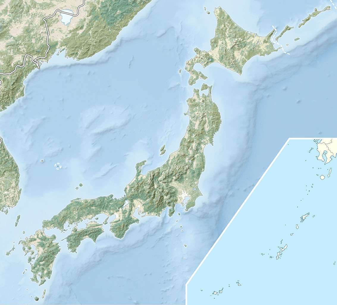
| Epicenter | 33°00′N 135°36′E / 33.00°N 135.60°ECoordinates: 33°00′N 135°36′E / 33.00°N 135.60°E [3] |
| Areas affected | Japan |
| Tsunami | Yes |
| Casualties | At least 1362 dead, 2600 injured and 100 missing [1] |
The 1946 Nankai earthquake (南海地震 Nankai jishin) was a great earthquake in Nankaidō, Japan. It occurred on December 21, 1946, at 04:19 JST (December 20, 19:19 UTC).[1] The earthquake measured between 8.1 and 8.4 on the moment magnitude scale, and was felt from Northern Honshū to Kyūshū. It occurred almost two years after the 1944 Tōnankai earthquake, which ruptured the adjacent part of the Nankai megathrust.
Geology
The Nankai Trough is a convergent boundary where the Philippine Sea Plate is being subducted beneath the Eurasian Plate. Large earthquakes have been recorded along this zone since the 7th century, with a recurrence time of 100 to 200 years.[4]
Earthquake
The 1946 Nankaido earthquake was unusual in its seismological perspective, with a rupture zone estimated from long-period geodetic data that was more than twice as large as that derived from shorter period seismic data. In the center of this earthquake rupture zone, scientists used densely deployed ocean bottom seismographs to detect a subducted seamount 13 kilometres (8 mi) thick by 50 kilometres (31 mi) wide at a depth of 10 kilometres (6 mi). Scientists propose that this seamount might work as a barrier inhibiting brittle seismogenic rupture.[4]
Casualties and damage
The earthquake caused extensive damage, eventually destroying 36,000 homes in southern Honshū alone.[1] The earthquake also caused a huge tsunami that took out another 2,100 homes with its. 5–6-metre (16–20-foot) waves.[1]
See also
References
- 1 2 3 4 5 "The 1946 Nankaido earthquake". USGS. 13 March 2008. Archived from the original on 1 June 2008. Retrieved 2008-06-29.
- ↑ Kanamori, H. (1972). "Tectonic implications of the 1944 Tonankai and the 1946 Nankaido earthquakes" (PDF). Physics of the Earth and Planetary Interiors. Elsevier. 5: 130. doi:10.1016/0031-9201(72)90082-9.
- ↑ "Earthquakes and their locations". National Geophysical Data Center. Retrieved 2008-06-29.
- 1 2 Kodaira, S.; Takahashi, N.; Nakanishi, A.; Miura, S.; Kaneda, Y. (2000). "Subducted Seamount Imaged in the Rupture Zone of the 1946 Nankaido Earthquake". Science. American Association for the Advancement of Science. 289 (5476): 104–106. doi:10.1126/science.289.5476.104.