1931 Myitkyina earthquake
 | |
| Date | January 27, 1931 |
|---|---|
| Origin time | 20:09 UTC |
| Magnitude | Mw 7.6 [1] |
| Depth | 35 km (22 mi) [1] |
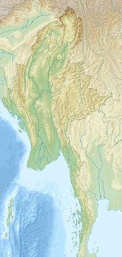
| Epicenter | 25°40′N 96°09′E / 25.67°N 96.15°ECoordinates: 25°40′N 96°09′E / 25.67°N 96.15°E [1] |
The 1931 Myitkyina earthquake, or also known as the 1931 Kamaing earthquake, occurred on January 27 at 20:09 UTC.[1] However, according to different sources, it occurred on January 28, 1931, at 02:35 local time.[2] It was located in northern Burma, then part of British India. The magnitude of this earthquake was put at Mw 7.6. According to some sources the depth was 35 km, and according to a study of Phyo M. M. the depth was 5 to 30 km.[1][3]
The shock was very violent and lasted at least 30 seconds.[2] The intensity reached MMI IX. There were numerous fissures and cracks.[4] Sand blows were reported. The earthquake might have caused slip of the Sagaing Fault.[5] The Sagaing Fault is a continental transform fault between the India Plate and the Sunda Plate.[6] This earthquake is located along the northern Sagaing Fault. Sagaing Fault at 22° N is narrow, about 10 km wide. The part of Sagaing Fault between 25°30' and 26° is wider, with a shear zone about 70 km wide, and has four branches identified.[7]
See also
References
- 1 2 3 4 5 Engdahl, E. R.; Vallaseñor, A. (2002). "Global seismicity: 1900–1999". International Handbook of Earthquake & Engineering Seismology (PDF). Part A, Volume 81A (First ed.). Academic Press. p. 675. ISBN 978-0124406520.
- 1 2 "The Physiography of Burma" by H. L. Chhibber
- ↑ "Relocation of Earthquakes in Myanmar by MJHD Methods: Aftershocks of Large Earthquakes and Seismicity along the Sagaing Fault" by Phyo M. M.
- ↑ "Steps in Earthquake Proofing a Country - A case Study of Myanmar" by G. A. MacRac, U. T. Myint, and S. K. Jain
- ↑ "Faulting Associated with Large Earthquakes and the Average Rate of Deformation in Central and Eastern Asia" by P. Molnar and Q. Deng
- ↑ Tsutsumi, H.; Sato, T. (2009), "Tectonic geomorphology of the southernmost Sagaing Fault and surface rupture associated with the May 1930 Pegu (Bago) earthquake, Myanmar" (PDF), Bulletin of the Seismological Society of America, Seismological Society of America, 99 (4): 2155–2168, doi:10.1785/0120080113
- ↑ "First global positioning system results in northern Myanmar: Constant and localized slip rate along the Sagaing fault" by T. Maurin, F. Masson, C. Rangin, U Than Min, and P. Collard