1931 Fuyun earthquake
 | |
| Date | August 10, 1931 |
|---|---|
| Origin time | 21:18 UTC |
| Magnitude | Mw 8.0 |
| Depth | 20 km[1] |
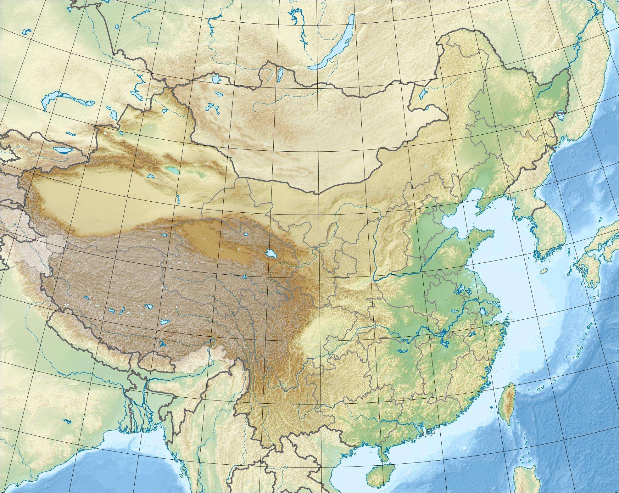
| Epicenter | 46°48′N 89°54′E / 46.8°N 89.9°E |
| Casualties | 10,000[2] |
The 1931 Fuyun earthquake (富蕴地震) occurred on August 10 at 21:18 UTC.[3] The epicenter was near Fuyun County of northern Xinjiang, China. It was a Mw 8.0 earthquake[4] and had a surface rupture of 171 km[1] with a maximal horizontal displacement of 14 m[5] along the Koktokay-Ertai fault zone (可可托海-二台断裂带).[6] The Koktokay-Ertai fault has a slip rate of 4±2 mm per year.[7] The rupture of this earthquake was caused by right-lateral strike-slip movement with normal component.[8] The rupture is well preserved and becomes one of the main features of the Koktokay National Geopark (可可托海国家地质公园) located in Koktokay.[9]
See also
References
- 1 2 http://www-lgit.obs.ujf-grenoble.fr/users/vergnolm/Documents/Vergnolleetal_JGR_03.pdf
- ↑ "Earthquakes with 1,000 or More Deaths since 1900". Earthquake.usgs.gov. Retrieved 2011-10-22.
- ↑ "Magnitude 8 and Greater Earthquakes Since 1900". Earthquake.usgs.gov. Retrieved 2011-10-22.
- ↑ http://www-lgit.obs.ujf-grenoble.fr/users/vergnolm/Documents/Pollitzetal_JGR_03.pdf
- ↑ "地震知识-中国科学院地球环境研究所". Ieexa.cas.cn. 2008-06-04. Retrieved 2011-10-22.
- ↑ "Science in China Series D: Earth Sciences, Volume 40, Number 2". SpringerLink. Retrieved 2011-10-22.
- ↑ http://www.paper.edu.cn/index.php/default/journal/downCount/journal-1005-2321(2003)S1-0132-10
- ↑ "Re-investigation of the Geometry and Slip Distribution of the 1931 Fuyun Surface". Adsabs.harvard.edu. Retrieved 2011-10-22.
- ↑ "中国公众科技网". Special.cpst.net.cn. Retrieved 2011-10-22.
This article is issued from Wikipedia - version of the 12/29/2015. The text is available under the Creative Commons Attribution/Share Alike but additional terms may apply for the media files.