1854 Nankai earthquake
  | |
| Date | December 24, 1854 |
|---|---|
| Magnitude | 8.4 ML |
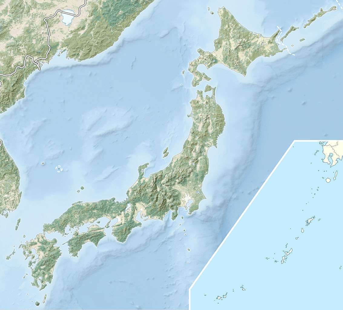
| Epicenter | 33°00′N 135°00′E / 33.0°N 135.0°ECoordinates: 33°00′N 135°00′E / 33.0°N 135.0°E |
| Areas affected | Japan, Tōkai region |
| Tsunami | yes |
| Casualties | >3,000 |
The 1854 Nankai earthquake occurred at about 16:00 local time on 24 December. It had a magnitude of 8.4 and caused a damaging tsunami. More than 30,000 buildings were completely destroyed and there were at least 3,000 casualties.[1]
It was the second of the three Ansei great earthquakes; the 1854 Tōkai earthquake of similar size had hit the area the previous morning.
Background
The southern coast of Honshu runs parallel to the Nankai Trough, which marks the subduction of the Philippine Sea Plate beneath the Eurasian Plate. Movement on this convergent plate boundary leads to many earthquakes, some of them of megathrust type. The Nankai megathrust has five distinct segments (A–E) that can rupture independently,[2][3] the segments have ruptured either singly or together repeatedly over the last 1300 years.[4] Megathrust earthquakes on this structure tend to occur in pairs, with a relatively short time gap between them. In addition to the two events in 1854, there were similar earthquakes in 1944 and 1946. In each case the northeastern segment ruptured before the southwestern segment.[5]
Damage
The damage due to the earthquake was severe with 5,000 houses being destroyed and 40,000 houses badly damaged. A further 6,000 homes were damaged by fire. The tsunami washed away a further 15,000 houses and a total of 3,000 people died from either the earthquake or the tsunami.[6] The death toll associated with the tsunami was less than would be expected in comparison to the 1707 tsunami, because many people had left the coastal area following the large earthquake the previous day.[7] In Hiro (now Hirogawa), Goryo Hamaguchi set fires using rice straw to help guide villagers to safety. This story was turned into "A living god" by the Greek-born writer Lafcadio Hearn.[8]
Characteristics
Earthquake
Much of southwestern Honshu, Shikoku and Kyūshū experienced shaking of 5 or more on the JMA scale, with most of Shikoku and nearby coastal areas of Kansai suffering an intensity of 6.[9]
Tsunami
On Shikoku, the greatest inundation heights were 7.5 m in Mugi, 7.5 m in Kamikawaguchi (Japanese: 上川口) of Kuroshio,[10] 7.2 m at Asakawa on the Tokushima coast, 7.4 m at Usa, 8.4 m at Ōnogō in the Susaki area, 8.3 m at Kure on the Kōchi coast and 5 m at both Hisayoshiura and Kaizuka on the coast of Ehime. [7]
A tsunami was observed in Shanghai, China, and a water surge of about 2 to 3 Chi was recorded in Huangpu River.[11]
See also
References
- ↑ Usami, T. (1979). "Study of Historical Earthquakes in Japan" (PDF). Bulletin of the Earthquake Research Institute. 54: 399–439. Retrieved 2009-11-13.
- ↑ Ando, M. (1975). "Source mechanisms and tectonic significance of historical earthquakes along the nankai trough, Japan". Tectonophysics. 27 (2): 119–140. Bibcode:1975Tectp..27..119A. doi:10.1016/0040-1951(75)90102-X. Retrieved 2009-11-13.
- ↑ Ishibashi, K. (2004). "Status of historical seismology in Japan" (PDF). Annals of Geophysics. 47 (2/3): 339–368. Retrieved 2009-11-22.
- ↑ Sieh, K.E. (1981). A Review of Geological Evidence for Recurrence Times of Large Earthquakes (PDF). Retrieved 2009-11-13.
- ↑ Kaneda, Y.; Kawaguchi, K.; Araki, E.; Matsumoto, H.; Nakamura, T.; Kamiya, S.; Hori, T. & Baba, T. (2007). "Precise real-time observatory and simulating phenomena of earthquakes and tsunamis around the Nankai Trough – Towards the understanding of mega thrust earthquakes". Underwater Technology and Workshop on Scientific Use of Submarine Cables and Related Technologies, 2007. Symposium on: 299–300. Retrieved 2009-11-13.
- ↑ National Geophysical Data Center. "Information on Earthquake and Tsunami". Retrieved 2009-11-17.
- 1 2 Murakami, H.; Ito S.; Hiraiwa Y. & Shimada T. (1995). "Re-examination of historical tsunamis in Shikoku Island, Japan". In Tsuchiya Y. & Shutō N. Tsunami: progress in prediction, disaster prevention, and warning. Springer. p. 336. Retrieved 2009-11-15.
- ↑ Atwater, B.F.; Musumi-Rokkaku S.; Satake K.; Tsuji Y.; Ueda K. & Yamaguchi D.K. "4. Kuwagasaki". The Orphan Tsunami: Japanese clues to parent earthquake in North America (PDF). Professional Paper 1707. USGS. p. 144. Retrieved 2009-11-14.
- ↑ "Great earthquakes along the Nankai Trough(The Ansei Nankai Earthquake, December 24, 1854, M 8.4)(The Nankai Earthquake, December 21, 1946, M 8.0)". Retrieved 2009-11-15.
- ↑ http://repository.dl.itc.u-tokyo.ac.jp/dspace/bitstream/2261/12817/1/ji0563006.pdf
- ↑ http://www.shgeophys.org/kxpj/kp%2001.asp