1707 Hōei earthquake
  | |
| Date | October 28, 1707 |
|---|---|
| Magnitude | 8.6 ML, Mw8.7[1] - 9.3[2] (est.) |
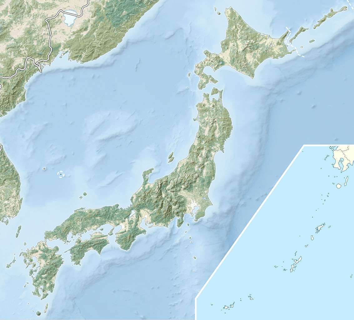
| Epicenter | 33°00′N 136°00′E / 33.0°N 136.0°ECoordinates: 33°00′N 136°00′E / 33.0°N 136.0°E |
| Areas affected | Japan: Chūbu region, Kansai region, Shikoku, Kyūshū |
| Tsunami | yes |
| Casualties | >5,000 |
The 1707 Hōei earthquake (Hōei jishin 宝永地震) was a large earthquake that struck south-central Japan at 14:00 local time on October 28, 1707. It was the largest earthquake in Japanese history[3] until the 2011 Tōhoku earthquake[4] surpassed it. It caused moderate to severe damage throughout southwestern Honshu, Shikoku and southeastern Kyūshū.[5] The earthquake, and the resulting destructive tsunami, caused more than 5,000 casualties.[6] This event ruptured all of the segments of the Nankai megathrust simultaneously, the only earthquake known to have done this, with an estimated magnitude of 8.6 ML. It might also have triggered the last eruption of Mount Fuji 49 days later.[7]
Background
The southern coast of Honshu runs parallel to the Nankai Trough, which marks the subduction of the Philippine Sea Plate beneath the Eurasian Plate. Movement on this convergent plate boundary leads to many earthquakes, some of them of megathrust type. The Nankai megathrust has five distinct segments (A-E) that can rupture independently.[8][9] The segments have ruptured either singly or together repeatedly over the last 1,300 years.[10] Megathrust earthquakes on this structure tend to occur in pairs, with a relatively short time gap between them. In addition to the two events in 1854, there were similar earthquakes in 1944 and 1946. In each case, the northeastern segment ruptured before the southwestern segment.[11] In the 1707 event, the earthquakes were either simultaneous, or close enough in time to not be distinguished by historical sources.
Damage
There were 29,000 houses destroyed and there were more than 5,000 casualties. At least one major landslide was triggered by the earthquake, the Ohya slide in Shizuoka.[12] This landslide, one of the three largest in Japan, involved an area of 1.8 km2, with an estimated volume of 120 million m3.[13] The Nara Basin shows evidence of liquefaction caused by this event.[14]
Characteristics
Earthquake
The magnitude of the 1707 event exceeded that of both the 1854 Ansei-Tōkai and Ansei-Nankai earthquakes, based on several observations. The uplift at Cape Muroto, Kōchi is estimated at 2.3 m in 1707 compared to 1.5 m in 1854, the presence of an area of seismic intensity of 6–7 on the JMA scale in Kawachi Plain, the degree of damage and inundations heights for the corresponding tsunami and records of tsunami at distant locations, such as Nagasaki and Jeju-do, South Korea.[15]
Tsunami
Along the southwestern coast of Kōchi, run-up heights averaged 7.7 m with up to 10 m in places.[16] 25.7 m high at Kure, Nakatosa, Kōchi, 23 m at Tanezaki.[17]
Link to eruption of Mount Fuji
There is evidence that changes in stress caused by large earthquakes may be sufficient to trigger volcanic eruptions, assuming that the magma system involved is close to a critical state.[7] The great earthquake in 1707 may have caused changes in pressure in the magma chamber beneath Mount Fuji through a static stress change. Mount Fuji erupted on December 16, 1707.[1]
See also
References
- 1 2 Christine Chesley, Peter C. LaFemina, Christine Puskas, Daisuke Kobayashi.(2012).The 1707 Mw8.7 Hoei earthquake triggered the largest historical eruption of Mt. Fuji, GEOPHYSICAL RESEARCH LETTERS, vol. 39, L24309.
- ↑ Yuzo Ishikawa.(2012)."Re-evaluation of Mw of the 1707 Hoei earthquake." (PDF).
- ↑ IISEE. "Catalog of Damaging Earthquakes in the World (Through 2009)". Retrieved 2009-12-23.
- ↑ "Magnitude 8.9 - NEAR THE EAST COAST OF HONSHU, JAPAN 2011 March 11 05:46:23 UTC". 11 March 2011. Archived from the original on 12 March 2011. Retrieved 11 March 2011.
- ↑ Miyazawa, M.; Mori J. (2005). "Historical maximum seismic intensity maps in Japan from 1586 to 2004: construction of database and application" (PDF). Ann. Disaster Prev. Res. Inst. Kyoto Univ. Archived from the original (PDF) on 22 July 2011. Retrieved 30 January 2010.
- ↑ Ando, M. (2006). "Groundwater and Coastal Phenomena Preceding the 1944 Tsunami (Tonankai Earthquake)" (PDF). Retrieved 30 January 2010.
- 1 2 Hill, D.P.; Pollitz F. & Newhall C. (2002). "Earthquake-Volcano Interactions" (PDF). Physica Today (November): 41–47. Retrieved 2010-01-30.
- ↑ Ando, M. (1975). "Source mechanisms and tectonic significance of historical earthquakes along the nankai trough, Japan". Tectonophysics. 27 (2): 119–140. Bibcode:1975Tectp..27..119A. doi:10.1016/0040-1951(75)90102-X. Retrieved 2009-11-13.
- ↑ Ishibashi, K. (2004). "Status of historical seismology in Japan" (PDF). Annals of Geophysics. 47 (2/3): 339–368. Retrieved 2009-11-22.
- ↑ Sieh, K.E. (1981). A Review of Geological Evidence for Recurrence Times of Large Earthquakes (PDF). Retrieved 2009-11-13.
- ↑ Kaneda, Y.; Kawaguchi, K.; Araki, E.; Matsumoto, H.; Nakamura, T.; Kamiya, S.; Hori, T. & Baba, T. (2007). "Precise real-time observatory and simulating phenomena of earthquakes and tsunamis around the Nankai Trough - Towards the understanding of mega thrust earthquakes". Underwater Technology and Workshop on Scientific Use of Submarine Cables and Related Technologies, 2007. Symposium on: 299–300. Retrieved 2009-11-13.
- ↑ Tsuchiya, S.; Imaizumi F. (2010). "Large Sediment Movement Caused by the Catastrophic Ohya-Kuzure Landslide" (PDF). Journal of Disaster Research. Retrieved 28 October 2012.
- ↑ "Case 2: Oya Hillside work" (PDF). Retrieved 30 January 2010.
- ↑ Nakanashi, I. (1999). "Liquefaction Caused by the 1707 Hoei Earthquake as Observed in the Nara Basin, Central Japan". Disaster Prevention Research Institute Annuals, Kyoto University. 42 (B1): 125–127. Retrieved 2010-01-30.
- ↑ Tsuji, Y.; Namegaya Y. (2007). "The 1707 Hoei Earthquake, as an Example of a combined Gigantic Tokai-Nankai Earthquake" (PDF). Retrieved 23 December 2009.
- ↑ Hatori, T. (1981). "Field investigations of the Nankaido Tsunamis in 1707 and 1854 along the South-west coast of Shikoku" (PDF). Bulletin Earthquake Research Institute (in Japanese). 56: 547–570. Retrieved 2009-12-23. In Japanese.
- ↑ Akitsune Imamura.(1938).土佐に於ける宝永・安政両度津浪の高さ, 地震 第1輯, 10, 394-404. in Japanese.