1498 Nankai earthquake
  | |
| Date | September 20, 1498 |
|---|---|
| Magnitude | 8.6 MS[1] |
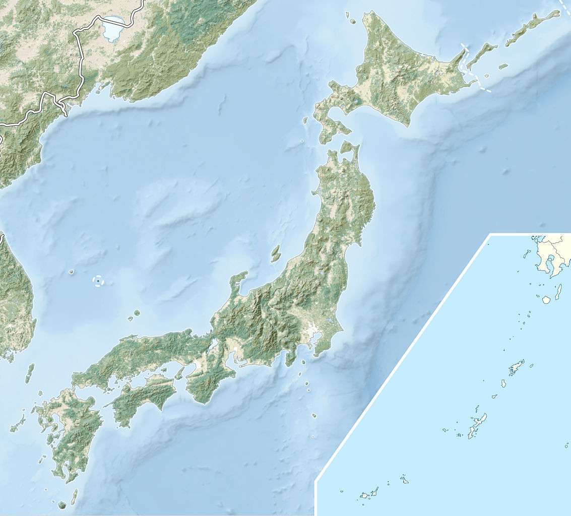
| Epicenter | 34°00′N 138°06′E / 34.0°N 138.1°ECoordinates: 34°00′N 138°06′E / 34.0°N 138.1°E |
| Areas affected | Japan |
| Tsunami | yes |
| Casualties | 31,000 deaths[2] |
The 1498 Nankai earthquake (明応地震 Meiō Jishin) occurred off the coast of Nankaidō, Japan, at about 08:00 local time[3] on 20 September 1498.[1] It had a magnitude estimated at 8.6 MS[1] and triggered a large tsunami. The death toll associated with this event is uncertain, but between 26,000 and 31,000 casualties were reported.[4] A tsunami caused by the Meiō Nankaidō earthquake washed away the building housing the statue of the Great Buddha at Kōtoku-in in Kamakura.
Tectonic setting
The southern coast of Honshū runs parallel to the Nankai Trough, which marks the subduction of the Philippine Sea Plate beneath the Eurasian Plate. Movement on this convergent plate boundary leads to many earthquakes, some of them of megathrust type. The Nankai megathrust has five distinct segments (A-E) that can rupture independently,[5][6] the segments have ruptured either singly or together repeatedly over the last 1,300 years.[7] Megathrust earthquakes on this structure tend to occur in pairs, with a relatively short time gap between them. In addition to the two events in 1854, there were similar earthquakes in 1944 and 1946. In each case, the northeastern segment ruptured before the southwestern segment.[8] In the 1498 event, the earthquake is thought to have ruptured segments C, D and E and possibly A and B. If both parts of the megathrust ruptured, the events were either simultaneous, or close enough in time, to not be distinguished by historical sources.[6]
Characteristics
Severe shaking caused by this earthquake was recorded from Bōsō Peninsula in the northeast to Kii Peninsula in the southwest. A tsunami was recorded in Suruga Bay and at Kamakura, where it destroyed the building housing the statue of the Great Buddha at Kōtoku-in.[9] There is also evidence of severe shaking from records of ground liquefaction in the Nankai area.[10] Tsunami deposits attributed to this earthquake have been described from the coastal plains around the Sagami Trough and the Izu Peninsula.[11]
Uplift of the seafloor of up to 4 m has been estimated for this earthquake, with a much smaller subsidence near the coast.[12] Lake Hamana became a brackish lake because the tsunami broke through low-lying land between the lake and the Pacific Ocean (Enshū Nada).
See also
References
- 1 2 3 NGDC. "Comments for the Significant Earthquake". Retrieved 30 October 2010.
- ↑ http://www.ngdc.noaa.gov/nndc/struts/results?eq_0=7383&t=101650&s=13&d=22,26,13,12&nd=display
- ↑ IISEE. "IISEE search page". Retrieved 6 January 2011.
- ↑ NGDC. "Comments for the Tsunami Event". Retrieved 6 January 2011.
- ↑ Ando, M. (1975). "Source mechanisms and tectonic significance of historical earthquakes along the nankai trough, Japan". Tectonophysics. 27 (2): 119–140. Bibcode:1975Tectp..27..119A. doi:10.1016/0040-1951(75)90102-X. Retrieved 2009-11-13.
- 1 2 Ishibashi, K. (2004). "Status of historical seismology in Japan" (PDF). Annals of Geophysics. 47 (2/3): 339–368. Retrieved 2009-11-22.
- ↑ Sieh, K.E. (1981). A Review of Geological Evidence for Recurrence Times of Large Earthquakes (PDF). Retrieved 2009-11-13.
- ↑ Kaneda, Y.; Kawaguchi, K. Araki; E. Matsumoto; H. Nakamura; T. Kamiya; S. Hori, T. & Baba, T. (2007). "Precise real-time observatory and simulating phenomena of earthquakes and tsunamis around the Nankai Trough - Towards the understanding of mega thrust earthquakes". Underwater Technology and Workshop on Scientific Use of Submarine Cables and Related Technologies, 2007. Symposium on: 299–300. Retrieved 2009-11-13.
- ↑ Ishabashi, K. (1981). "Specification of a soon-to-occur seismic faulting in the Tokai District, central Japan, based on seismotectoncs". In Simpson D.W.; Pichards P.G. Earthquake prediction: an international review. Maurice Ewing Series. 4. American Geophysical Union. pp. 323–324. ISBN 978-0-87590-403-0.
- ↑ Rikitake, T (1999). "Probability of a great earthquake to recur in the Tokai district, Japan:" (PDF). Earth Planets Space. 51: 147–157. Bibcode:1999EP&S...51..147R. Retrieved 30 October 2010.
- ↑ Komatsubara, J.; Fujiwara, O. (2007). "Overview of Holocene tsunami deposits along the Nankai, Sugura and Sagami Troughs, southwest Japan". In Satake K.; Okal E.A.; Borrero J.C. Tsunami and Its Hazards in the Indian and Pacific Oceans. Pageophys topical volumes. 164. p. 494. ISBN 978-3-7643-8363-3.
- ↑ Murata, S.; Imamura, F.; Katoh, K. (2009). Tsunami: To Survive from Tsunami. Advanced series on ocean engineering. 32. World Scientific. pp. 102–103. ISBN 978-981-4277-47-1. Retrieved 30 October 2009.