Ďumbier
| Ďumbier | |
|---|---|
 Ďumbier | |
| Highest point | |
| Elevation | 2,043 m (6,703 ft) |
| Coordinates | 48°56′11.4″N 19°38′25.3″E / 48.936500°N 19.640361°ECoordinates: 48°56′11.4″N 19°38′25.3″E / 48.936500°N 19.640361°E |
| Geography | |
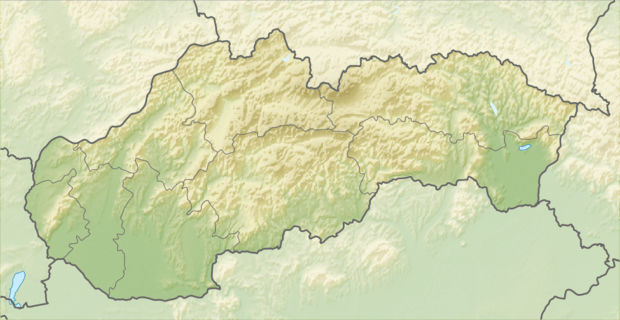 Ďumbier Location in Slovakia | |
| Location | Slovakia |
| Parent range | Low Tatra |
| Climbing | |
| First ascent | 18th century[1] |
| Easiest route | Hike |

Ďumbier from mountain Krúpova hoľa
Ďumbier (2,043 m or 6,703 ft) is the highest mountain in the Low Tatra range, in central Slovakia. Despite the remains of medieval mines (gold, iron, antimony), the massif is now protected as a part of the Low Tatras National Park.
The easily accessible summit offers a scenic view of High Tatra, Liptov and the valley of Hron. A chalet called Chata M. R. Štefánika is situated under the summit (1,740 m). Ďumbier, as well as the nearby Chopok mountain, can be reached following the hiking trails either from the north (from the Demänovská dolina and Jánska dolina valleys) or from the south (from the bus stop Trangoška).
References
This article is issued from Wikipedia - version of the 2/7/2015. The text is available under the Creative Commons Attribution/Share Alike but additional terms may apply for the media files.